

November 24, 2018 Surf Forecast
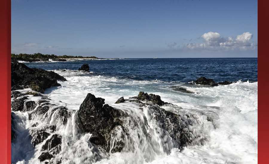
Photo: James Grenz
Swell Summary
Outlook through Saturday December 01: A long-duration high surf event with overlapping large northwest swells is expected Sunday through midweek along north and west facing shores. Surf will likely reach advisory levels as early as Sunday afternoon, then exceed warning levels around the peak of the event Sunday night through Monday night. Surf may not drop below advisory levels until Wednesday as the swell slowly lowers. A combination of large surf and peak monthly tides will increase the potential for beach erosion and overwash along the typically vulnerable coasts. Small and choppy short period surf will continue along east facing shores. Small surf will continue along south facing shores.
Surf heights are forecast heights of the face, or front, of waves. The surf forecast is based on the significant wave height, the average height of the one third largest waves, at the locations of the largest breakers. Some waves may be more than twice as high as the significant wave height. Expect to encounter rip currents in or near any surf zone.
North East
am ![]()
![]() pm
pm ![]()
![]()
Surf: Chest to shoulder high E medium period swell.
Conditions: Light sideshore texture in the morning with SSE winds 10-15mph. Choppy/disorganized conditions for the afternoon with the winds shifting to the ESE.
North West
am ![]()
![]() pm
pm ![]()
![]()
Surf: Ankle to knee high SW ground swell.
Conditions: Sideshore texture/chop with NE winds 5-10mph in the morning shifting WSW for the afternoon.
West
am ![]()
![]() pm
pm ![]()
![]()
Surf: Ankle to knee high SW ground swell.
Conditions: Semi glassy in the morning with NNW winds less than 5mph. Bumpy/semi bumpy conditions for the afternoon with the winds shifting WNW 5-10mph.
South East
am ![]()
![]() pm
pm ![]()
![]()
Surf: Chest to shoulder high ESE medium period swell.
Conditions: Light sideshore texture in the morning with NE winds 5-10mph. Semi choppy conditions for the afternoon with the winds shifting to the ENE.

Image: NOAA

Image: NOAA

Image: NOAA

Image: NOAA

Image: NOAA
**Click directly on the images below to make them larger. Charts include: Hawaii County projected winds, tides, swell direction & period and expected wave heights.**
Data Courtesy of NOAA.gov and SwellInfo.com
Sponsored Content


