

November 15, 2018 Surf Forecast
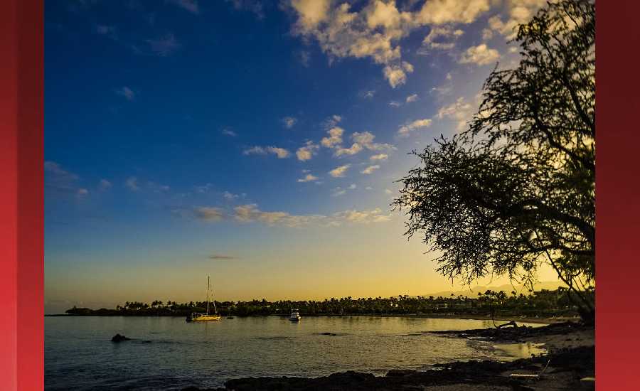
Photo: James Grenz
Swell Summary
Outlook through Thursday November 22: A new northwest swell is expected to fill in tonight, peak on Friday at advisory levels along north and west facing shores, then lower gradually Friday night and Saturday. A slightly smaller north northwest swell is expected Saturday night and Sunday. Another small to moderate size northwest swell is expected to arrive on Monday. Small, mainly background south swells are expected through the remainder of the week and on through the weekend. A slight uptick in short period choppy surf can be expected Friday through Sunday as the trade winds strengthen.
Surf heights are forecast heights of the face, or front, of waves. The surf forecast is based on the significant wave height, the average height of the one third largest waves, at the locations of the largest breakers. Some waves may be more than twice as high as the significant wave height. Expect to encounter rip currents in or near any surf zone.
North East
am ![]()
![]() pm
pm ![]()
![]()
Surf: Head high NNW ground swell for the morning with occasional 1-2′ overhead high sets. This drops in the afternoon with occasional head high sets.
Conditions: Fairly clean in the morning with S winds 10-15mph. Semi choppy conditions for the afternoon with the winds shifting to the ESE.
North West
am ![]()
![]() pm
pm ![]()
![]()
Surf: Ankle to knee high N ground swell for the morning going more SW during the day.
Conditions: Glassy in the morning with S winds less than 5mph. Semi glassy/semi bumpy conditions for the afternoon with the winds shifting to the NW.
West
am ![]()
![]() pm
pm ![]()
![]()
Surf: Ankle to knee high S ground swell.
Conditions: Glassy in the morning with WNW winds less than 5mph. Semi glassy/semi bumpy conditions for the afternoon with the winds shifting to the W.
South East
am ![]()
![]() pm
pm ![]()
![]()
Surf: Waist to stomach high ESE short period wind swell with occasional chest high sets.
Conditions: Semi glassy/semi bumpy with ESE winds less than 5mph in the morning shifting E 5-10mph in the afternoon.

Image: NOAA

Image: NOAA

Image: NOAA

Image: NOAA

Image: NOAA
**Click directly on the images below to make them larger. Charts include: Hawaii County projected winds, tides, swell direction & period and expected wave heights.**
Data Courtesy of NOAA.gov and SwellInfo.com
Sponsored Content


