

November 14, 2018 Surf Forecast
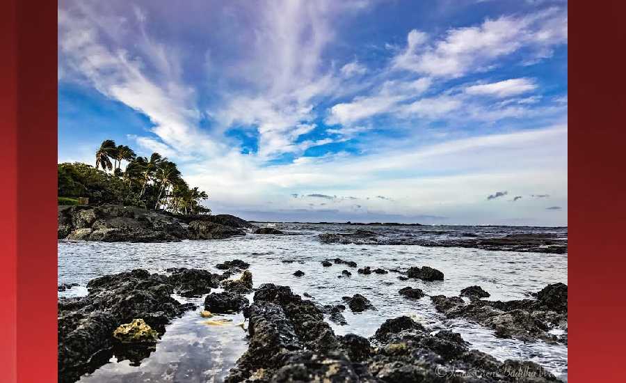
Photo: James Grenz
Swell Summary
Outlook through Wednesday November 21: The current north-northwest swell will hold steady today, then subside through Thursday. A reinforcing northwest to north-northwest swell expected Thursday night will likely boost surf back above the advisory threshold on Friday and gradually subside through the weekend. Surf will build along east facing shores over the weekend as winds increase, but will remain below advisory levels. Winds may further strengthen next week, and may bring advisory level surf along east facing shores. Only small surf is expected along south facing shores.
Surf heights are forecast heights of the face, or front, of waves. The surf forecast is based on the significant wave height, the average height of the one third largest waves, at the locations of the largest breakers. Some waves may be more than twice as high as the significant wave height. Expect to encounter rip currents in or near any surf zone.
North East
am ![]()
![]() pm
pm ![]()
![]()
Surf: 1-3′ overhead high NNW ground swell with occasional well overhead high sets.
Conditions: Light sideshore texture in the morning with SSE winds 10-15mph. Choppy/sideshore current conditions for the afternoon with the winds shifting SE 15-20mph.
North West
am ![]()
![]() pm
pm ![]()
![]()
Surf: Knee high N ground swell in the morning with occasional thigh high sets. This drops a bit in the afternoon.
Conditions: Light sideshore texture in the morning with NE winds 5-10mph. Bumpy/semi bumpy conditions for the afternoon with the winds shifting N 10-15mph.
West
am ![]()
![]() pm
pm ![]()
![]()
Surf: Knee high NW ground swell with occasional thigh high sets.
Conditions: Glassy in the early morning with WNW winds less than 5mph. Semi choppy conditions move in during the morning hours with the winds shifting NW 10-15mph.
South East
am ![]()
![]() pm
pm ![]()
![]()
Surf: Knee to waist high ESE wind swell.
Conditions: Glassy in the morning with S winds less than 5mph. Semi glassy/semi bumpy conditions for the afternoon with the winds shifting to the ESE.

Image: NOAA
Image: NOAA

Image: NOAA

Image: NOAA
Image: NOAA

Image: NOAA
**Click directly on the images below to make them larger. Charts include: Hawaii County projected winds, tides, swell direction & period and expected wave heights.**
Data Courtesy of NOAA.gov and SwellInfo.com
Sponsored Content


