

August 31, 2018 Surf Forecast
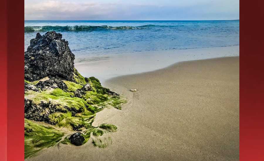
Photo: James Grenz
Swell Summary
Outlook through Friday September 07: A small south swell is expected to begin filling in today, peak late tomorrow near the summer average, then subside through Monday. Swells from Hurricane Miriam will spread to east facing shores over the weekend as Miriam moves north and weakens. This surf will remain below the advisory threshold. Swells from Hurricane Norman will reach Oahu during the second half of next week and could produce advisory level surf along east facing shores.
Surf heights are forecast heights of the face, or front, of waves. The surf forecast is based on the significant wave height, the average height of the one third largest waves, at the locations of the largest breakers. Some waves may be more than twice as high as the significant wave height. Expect to encounter rip currents in or near any surf zone.
North East
am ![]()
![]() pm
pm ![]()
![]()
Surf: Chest to shoulder high E medium period swell in the morning builds for the afternoon with occasional sets up to head high.
Conditions: Glassy in the morning with N winds less than 5mph. Semi glassy/semi bumpy conditions for the afternoon with the winds shifting NNW 5-10mph.
North West
am ![]()
![]() pm
pm ![]()
![]()
Surf: Ankle to knee high SW long period swell.
Conditions: Light sideshore texture in the morning with NE winds 5-10mph. Bumpy/semi bumpy conditions for the afternoon with the winds shifting to the W.
West
am ![]()
![]() pm
pm ![]()
![]()
Surf: Ankle to knee high WNW ground swell for the morning going more SSW and building into the knee to waist range in the afternoon.
Conditions: Clean in the morning with E winds less than 5mph. Semi glassy/semi bumpy conditions for the afternoon with the winds shifting WSW 5-10mph.
South East
am ![]()
![]() pm
pm ![]()
![]()
Surf: Stomach to shoulder high E medium period swell in the morning builds in the afternoon with occasional sets up to slightly overhead high.
Conditions: Fairly clean in the morning with N winds 5-10mph. Semi clean/textured conditions for the afternoon as the winds increase to 10-15mph.

Image: NOAA

Image: NOAA
Image: NOAA

Image: NOAA
Image: NOAA

Image: NOAA
**Click directly on the images below to make them larger. Charts include: Hawaii County projected winds, tides, swell direction & period and expected wave heights.**
Data Courtesy of NOAA.gov and SwellInfo.com
Sponsored Content


