

August 17, 2018 Surf Forecast
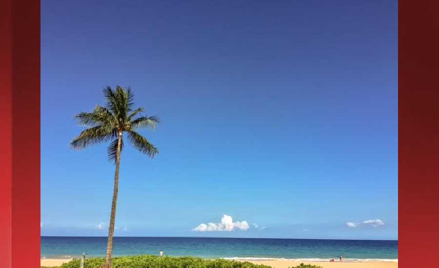
Photo: James Grenz
Swell Summary
Outlook through Friday August 24: Overall, small surf is expected along all shores through the weekend. A broad area of low pressure is expected to develop near the Aleutian Islands this weekend, and will likely bring a small north-northwest swell starting Monday night or Tuesday of next week. We will continue to monitor the development of Hurricane Lane for any surf potential next week.
Surf heights are forecast heights of the face, or front, of waves. The surf forecast is based on the significant wave height, the average height of the one third largest waves, at the locations of the largest breakers. Some waves may be more than twice as high as the significant wave height. Expect to encounter rip currents in or near any surf zone.
North East
am ![]()
![]() pm
pm ![]()
![]()
Surf: Waist high ESE medium period swell with occasional stomach high sets.
Conditions: Sideshore texture/chop with SE winds 10-15mph.
North West
am ![]()
![]() pm
pm ![]()
![]()
Surf: Ankle to knee high WNW medium period swell for the morning going more SW during the day.
Conditions: Semi glassy in the morning with NE winds less than 5mph. Sideshore texture/chop conditions for the afternoon with the winds shifting SW 10-15mph.
West
am ![]()
![]() pm
pm ![]()
![]()
Surf: Ankle to knee high S medium period swell in the morning builds in the afternoon with occasional sets up to waist high.
Conditions: Glassy in the morning with WNW winds less than 5mph. Semi glassy/semi bumpy conditions for the afternoon with the winds shifting SSW 5-10mph.
South East
am ![]()
![]() pm
pm ![]()
![]()
Surf: Waist to stomach high SE medium period swell for the morning going more S and building a bit during the afternoon.
Conditions: Semi choppy with ENE winds 5-10mph.

Image: NOAA

Image: NOAA
Image: NOAA

Image: NOAA

Image: NOAA

Image: NOAA
**Click directly on the images below to make them larger. Charts include: Hawaii County projected winds, tides, swell direction & period and expected wave heights.**
Data Courtesy of NOAA.gov and SwellInfo.com
Sponsored Content


