

June 30, 2018 Surf Forecast
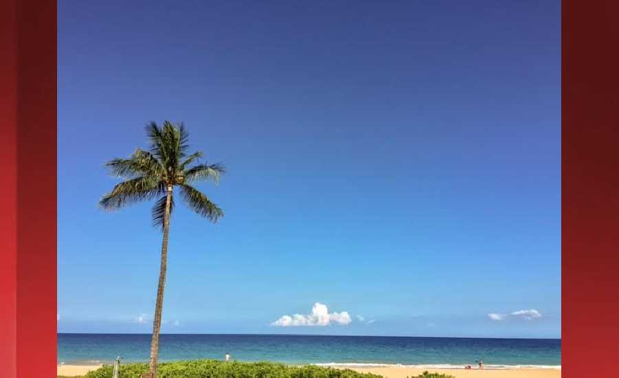
Photo: James Grenz
Swell Summary
Outlook through Saturday July 07: Small southeast and southwest swells will keep surf along south facing shores near the summer average through Sunday. Looking ahead to the first week of July, the active trend for south facing shores will continue due to systems passing south and east of New Zealand. The first swell is expected to begin filling in late Monday into Tuesday followed by another south swell later in the week. Surf along east facing shores will be on the rise later next week as trade winds strengthen. Surf may reach the High Surf Advisory criteria for east facing shores starting late Wednesday or Thursday.
Surf heights are forecast heights of the face, or front, of waves. The surf forecast is based on the significant wave height, the average height of the one third largest waves, at the locations of the largest breakers. Some waves may be more than twice as high as the significant wave height. Expect to encounter rip currents in or near any surf zone.
North East
am ![]()
![]() pm
pm ![]()
![]()
Surf: Waist to chest high NE wind swell.
Conditions: Sideshore texture/chop with SE winds 5-10mph in the morning increasing to 15-20mph in the afternoon.
North West
am ![]()
![]() pm
pm ![]()
![]()
Surf: Ankle to knee high SW long period swell.
Conditions: Semi glassy in the morning with ENE winds less than 5mph. Choppy/sideshore current conditions for the afternoon with the winds shifting SW 15-20mph.
West
am ![]()
![]() pm
pm ![]()
![]()
Surf: Knee to waist high SSW ground swell.
Conditions: Glassy in the early morning with SE winds less than 5mph. Bumpy/semi bumpy conditions move in during the morning hours with the winds shifting SSW 5-10mph.
South East
am ![]()
![]() pm
pm ![]()
![]()
Surf: Waist to chest high SE medium period swell with occasional shoulder high sets.
Conditions: Clean in the morning with NW winds less than 5mph. Bumpy/semi bumpy conditions for the afternoon with the winds shifting E 5-10mph.

Image: NOAA

Image: NOAA

Image: NOAA
Image: NOAA

Image: NOAA
**Click directly on the images below to make them larger. Charts include: Hawaii County projected winds, tides, swell direction & period and expected wave heights.**
Data Courtesy of NOAA.gov and SwellInfo.com
Sponsored Content


