

February 22, 2018 Surf Forecast
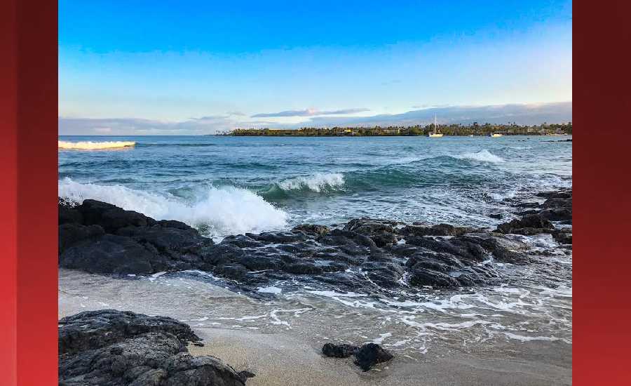
Photo: James Grenz
Swell Summary
Outlook through Wednesday February 28: The current west-northwest swell will continue to provide a moderate bump to surf along the north and west facing shores through Thursday, before gradually subsiding Friday and into the weekend. Afterwards, no other significant northwest swells are expected. An elevated trade wind swell is expected to bump surf up to advisory levels along east facing shores by late Thursday or Friday. Surf will continue to build through the beginning of next week, and may reach warning levels by midweek. A small long period south swell should produce a small bump in surf this weekend for south facing shores.
Surf heights are forecast heights of the face, or front, of waves. The surf forecast is based on the significant wave height, the average height of the one third largest waves, at the locations of the largest breakers. Some waves may be more than twice as high as the significant wave height. Expect to encounter rip currents in or near any surf zone.
North East
am ![]()
![]() pm
pm ![]()
![]()
Surf: Stomach to shoulder high ESE wind swell for the morning. The swell shifts more E and builds for the afternoon with sets up to head high.
Conditions: Sideshore texture/chop with SSE winds 15-20mph in the morning shifting SE for the afternoon. Clean conditions are expected for the late day with SSW winds 10-15mph.
North West
am ![]()
![]() pm
pm ![]()
![]()
Surf: Chest to shoulder high WNW ground swell.
Conditions: Sideshore texture/chop in the morning with NE winds 5-10mph. Light sideshore texture conditions for the afternoon with the winds shifting to the SW.
West
am ![]()
![]() pm
pm ![]()
![]()
Surf: Chest to shoulder high WNW ground swell in the morning builds in the afternoon with occasional sets up to 1-2′ overhead high.
Conditions: Semi glassy in the morning with SSE winds less than 5mph. Bumpy/semi bumpy conditions for the afternoon with the winds shifting SSW 5-10mph.
South East
am ![]()
![]() pm
pm ![]()
![]()
Surf: Stomach to shoulder high E wind swell for the morning going more ESE during the day.
Conditions: Bumpy/semi bumpy with ESE winds 5-10mph in the morning increasing to 10-15mph in the afternoon.

Image: NOAA

Image: NOAA

Image: NOAA

Image: NOAA

Image: NOAA

Image: NOAA
**Click directly on the images below to make them larger. Charts include: Hawaii County projected winds, tides, swell direction & period and expected wave heights.**
Data Courtesy of NOAA.gov and SwellInfo.com
Sponsored Content


