

February 09, 2018 Surf Forecast
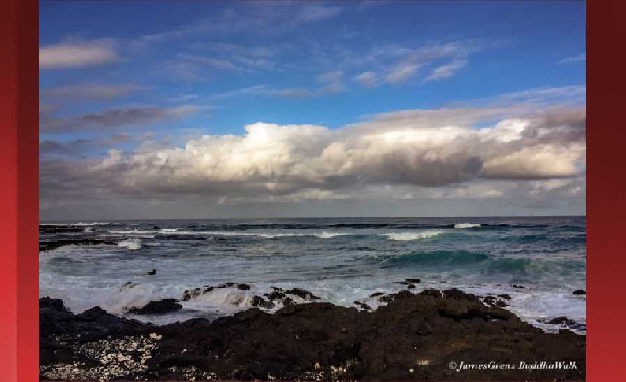
Photo: James Grenz
Swell Summary
Outlook through Thursday February 15: A large northwest swell will peak Friday, then diminish through Saturday. A small to moderate northwest swell arriving Sunday will increase and peak Monday, then slowly diminish through Wednesday. Advisory-level surf is expected along north and west facing shores during the peak of the swell on Monday, and may continue into Tuesday. A slight increase in short-period wind waves will lead to a minor increase in surf heights along east facing shores the next couple of days.
Surf heights are forecast heights of the face, or front, of waves. The surf forecast is based on the significant wave height, the average height of the one third largest waves, at the locations of the largest breakers. Some waves may be more than twice as high as the significant wave height. Expect to encounter rip currents in or near any surf zone.
North East
am ![]()
![]() pm
pm ![]()
![]()
Surf: Chest to head high NNW medium period swell in the morning builds in the afternoon with occasional sets up to 1-2′ overhead high.
Conditions: Choppy/sideshore current with NW winds 20-25mph in the morning increasing to 25-30mph in the afternoon.
North West
am ![]()
![]() pm
pm ![]()
![]()
Surf: Knee to thigh high WNW medium period swell for the morning drops a bit during the afternoon.
Conditions: Choppy/sideshore current with NE winds 15-20mph in the morning shifting N 25-30mph in the afternoon.
West
am ![]()
![]() pm
pm ![]()
![]()
Surf: Knee to waist high NW ground swell with occasional stomach high sets.
Conditions: Glassy in the morning with ESE winds 5-10mph. Semi glassy/semi bumpy conditions for the afternoon with the winds shifting to the SW.
South East
am ![]()
![]() pm
pm ![]()
![]()
Surf: Knee to waist high wind swell with occasional stomach sets. The swell will be coming from the ESE in the morning and shift to the E during the day.
Conditions: Clean in the morning with NNW winds 15-20mph. Semi clean/textured conditions for the afternoon with the winds shifting to the N.

Image: NOAA

Image: NOAA

Image: NOAA

Image: NOAA

Image: NOAA
**Click directly on the images below to make them larger. Charts include: Hawaii County projected winds, tides, swell direction & period and expected wave heights.**
Data Courtesy of NOAA.gov and SwellInfo.com
Sponsored Content


