

January 17, 2018 Surf Forecast
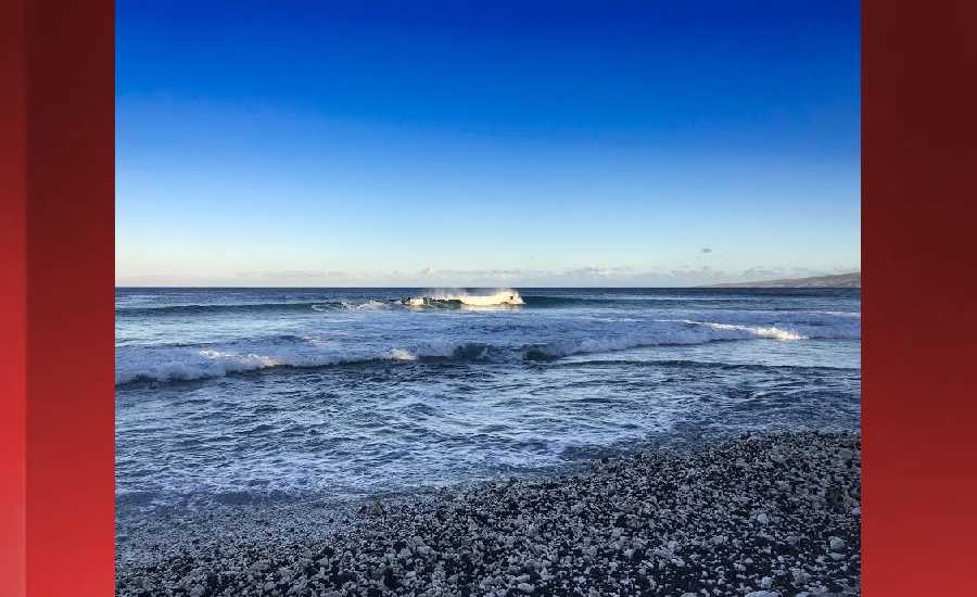
Photo: James Grenz
Swell Summary
Outlook through Tuesday January 23: The new northwest swell arriving tonight will subside and shift from northwest to north by Thursday. A series of moderate northwest swells from late this week through early next week will produce surf well below the advisory threshold. Strong to near gale force trade winds will likely bring advisory-level surf to east facing shores from late Wednesday through Friday.
Surf heights are forecast heights of the face, or front, of waves. The surf forecast is based on the significant wave height, the average height of the one third largest waves, at the locations of the largest breakers. Some waves may be more than twice as high as the significant wave height. Expect to encounter rip currents in or near any surf zone.
North East
am ![]()
![]() pm
pm ![]()
![]()
Surf: Shoulder to head high NNW ground swell for the morning with occasional 1-2′ overhead high sets. This builds in the afternoon with sets up to double overhead high.
Conditions: Semi glassy in the morning with SE winds less than 5mph. Light sideshore texture conditions for the afternoon as the winds increase to 5-10mph.
North West
am ![]()
![]() pm
pm ![]()
![]()
Surf: Knee high WNW ground swell with occasional thigh high sets.
Conditions: Semi glassy in the morning with SW winds less than 5mph. Sideshore texture/chop conditions for the afternoon as the winds increase to 5-10mph.
West
am ![]()
![]() pm
pm ![]()
![]()
Surf: Knee to waist high WNW ground swell for the morning. The swell shifts more NW and builds for the afternoon with sets up to chest high.
Conditions: Glassy in the morning with SSE winds less than 5mph. Semi glassy/semi bumpy conditions for the afternoon with the winds shifting to the WSW.
South East
am ![]()
![]() pm
pm ![]()
![]()
Surf: Waist to chest high E short period wind swell.
Conditions: Sideshore texture/chop in the morning with NNE winds 10-15mph. Fairly clean conditions for the afternoon with the winds shifting to the N.

Image: NOAA

Image: NOAA

Image: NOAA

Image: NOAA

Image: NOAA

Image: NOAA
**Click directly on the images below to make them larger. Charts include: Hawaii County projected winds, tides, swell direction & period and expected wave heights.**
Data Courtesy of NOAA.gov and SwellInfo.com
Sponsored Content


