Series of NW Swells Forecast This Week
Marine Alerts (as of 1:00 a.m.)
Small Craft Advisory: For building seas of 10 feet Tuesday. Posted through 6 p.m. Wednesday.
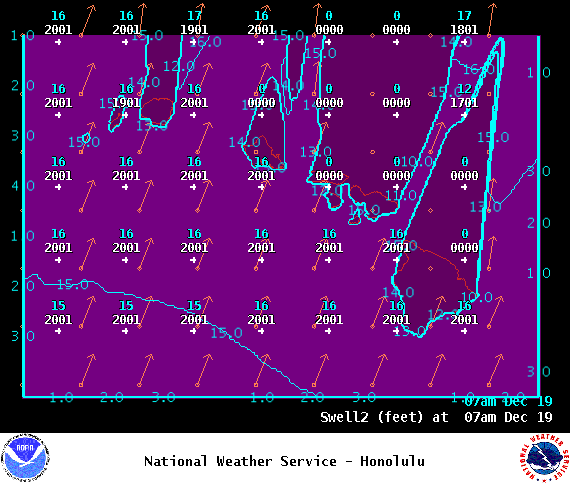
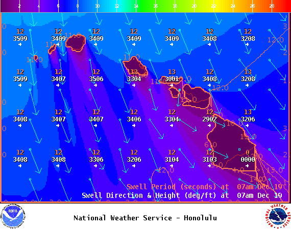
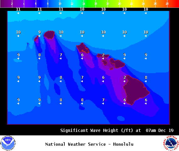
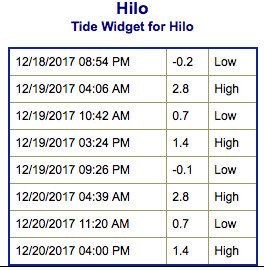
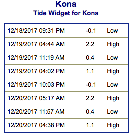
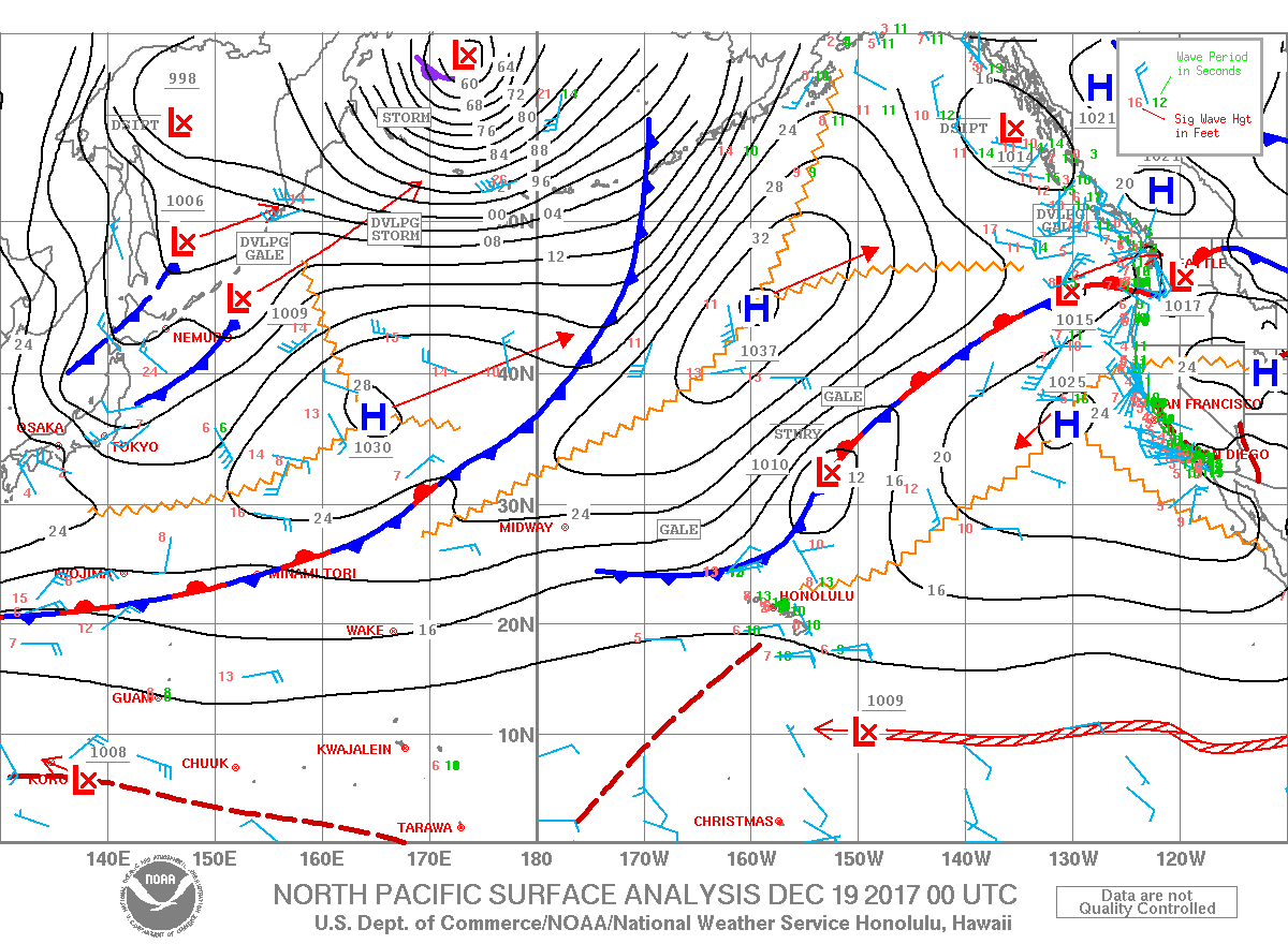
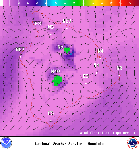
**Click directly on the images below to make them larger. Charts include: Big Island projected winds, tides, swell direction & period and expected wave heights.**
Big Island Surf Forecast
Hilo: Wave heights are expected to be shoulder/head high today.
Kona: Wave heights are expected to be knee/thigh high today. The best breaks could get waist high on the sets, especially later in the day as the swell peaks. Some spots will see traces of the northwest as well.
South: Wave heights are expected to be knee/thigh high today. The best breaks could get waist high on the sets, especially later in the day as the swell peaks.
New, small south-southwest fills in today.
Our current north-northwest swell is fading with a mix of north-northeast and north filing in and bringing advisory level conditions to some north and east exposures across the state.
Another swell is forecast to fill in Wednesday with yet another, larger, northwest swell forecast for the weekend. Advisories for the surf will likely be extended through the weekend as our series of swells fill in one after another.
Keep in mind, surf heights are measured on the face of the wave from trough to crest. Heights vary from beach to beach, and at the same beach, from break to break.
Sponsored Content
Comments


