Swells Dropping, New NW Fills in Saturday Night
Marine Alerts (as of 1:00 a.m.)
There are no alerts posted at this time.
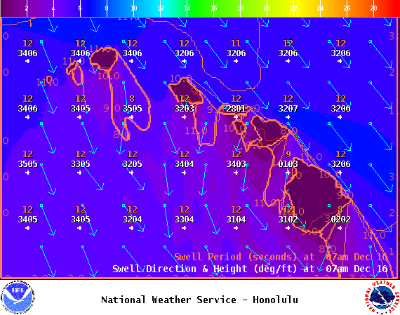
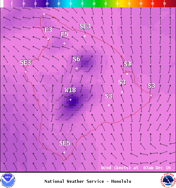
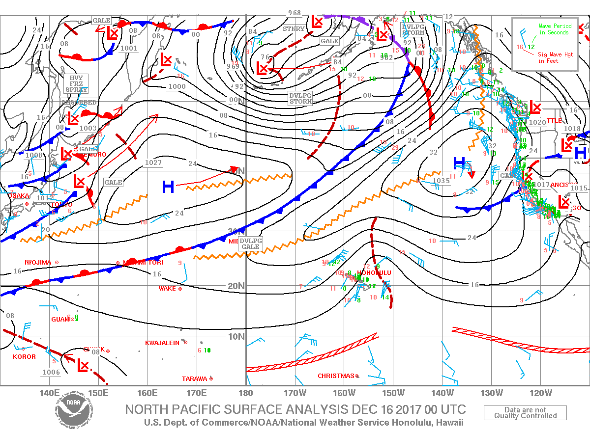
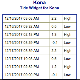
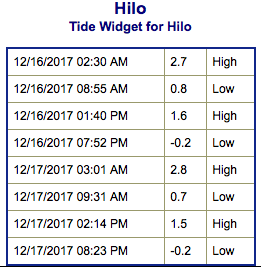
**Click directly on the images below to make them larger. Charts include: Big Island projected winds, tides, swell direction & period and expected wave heights.**
Big Island Surf Forecast
Hilo: Wave heights are expected to be shoulder high to slightly overhead today.
Kona: Wave heights are expected to be waist high or less today.
South: Wave heights are expected to be waist high or less today.
Our current northwest swell continues to slowly ease this weekend.
As winds drop off, the wind driven swell will also begin to fade out.
A small northwest is forecast to fill in Saturday night and bring waves that are well below advisory levels through Monday. Late Tuesday into Wednesday another larger north-northwest swell is forecast to bring waves that are closer to the advisory level threshold.
Keep in mind, surf heights are measured on the face of the wave from trough to crest. Heights vary from beach to beach, and at the same beach, from break to break.
Sponsored Content
Comments


