Surf Building for Multiple Shorelines This Weekend
Alerts (as of 1:00 a.m.)
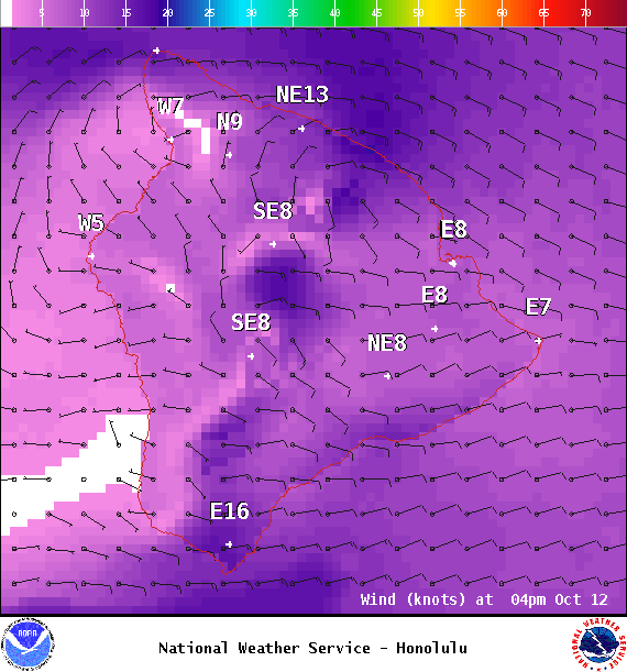
Special Weather Statement: Strengthening trade winds will bring moisture over Hawaii from the east which will interact with an approaching upper level trough from the north. Windward and mauka showers will increase in coverage as the moisture arrives overnight and Thursday. The upper trough will destabilize the atmosphere over us Thursday night or Friday allowing for locally heavy passing showers at times through the weekend. The trade winds will focus more of the rain windward and mauka, but many of the showers will also reach leeward sides. Trade winds will further strengthen this weekend and result in blustery conditions. Showers will begin to taper off late Sunday as the moisture moves west of the area and the upper trough lifts to the northeast. The breezy trade winds will remain into early next week.
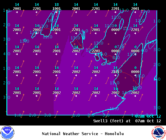
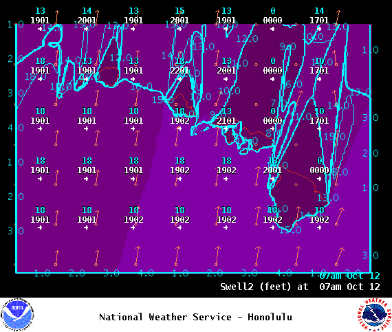
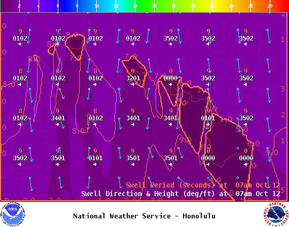
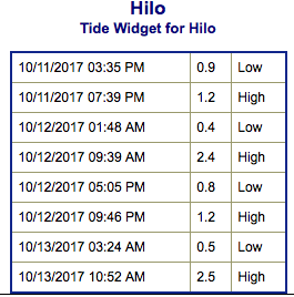
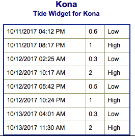
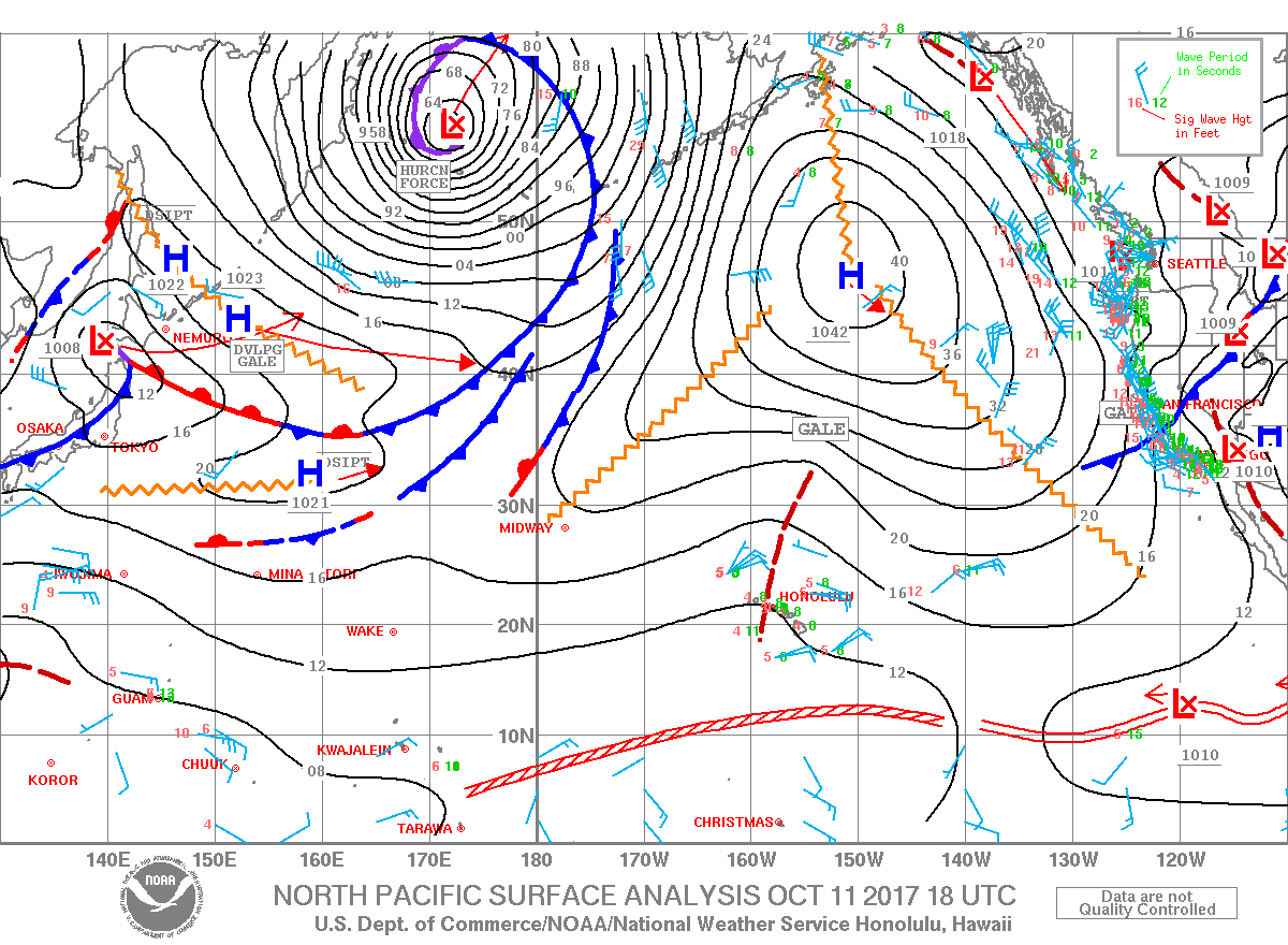
**Click directly on the images below to make them larger. Charts include: Big Island projected winds, tides, swell direction & period and expected wave heights.**
Big Island Surf Forecast
Hilo side: Surf heights are expected to be pretty flat with minimal swell waist high or less today.
Kona side: Surf heights are expected to be up to knee/waist high.
South: Surf heights are expected to be knee/waist high today.
Northeast trade swell for eastern exposures is forecast to build over Friday and into the weekend up to about head high, possibly overhead by Sunday. We don’t expect much out of the north Pacific other than a modest swell possibly around the 15th and some trade swell late next week.
A small southwest swell is expected to hold into Thursday up to waist high with chest high sets at the best exposures. Another swell is forecast to build for southern exposures late Saturday into Sunday, peak late Sunday and hold through Monday / Tuesday.
Keep in mind, surf heights are measured on the face of the wave from trough to crest. Heights vary from beach to beach, and at the same beach, from break to break.
Sponsored Content
Comments


