Winds Transitioning Later Today
Alerts (as of 1:00 a.m.)
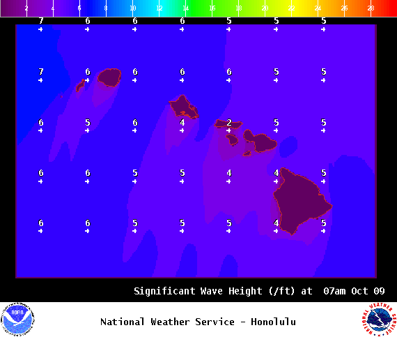
High Surf Advisory: East-facing shores until 6 a.m. Monday.
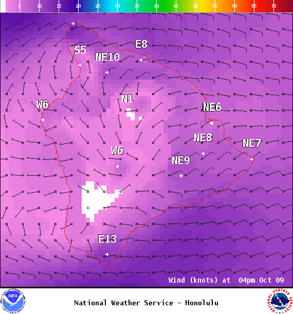
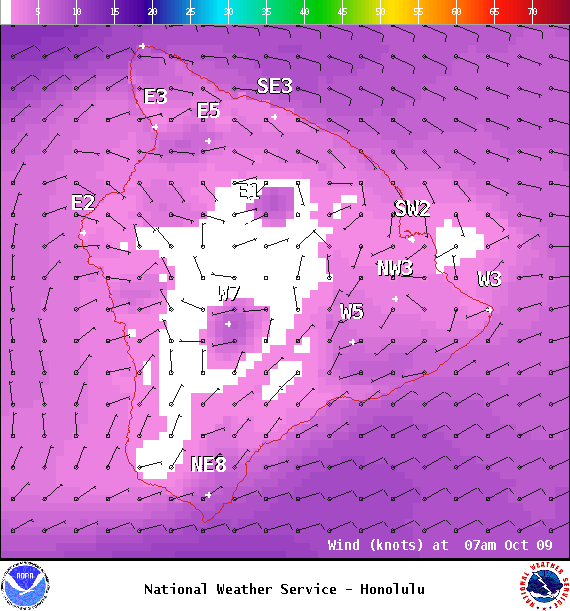
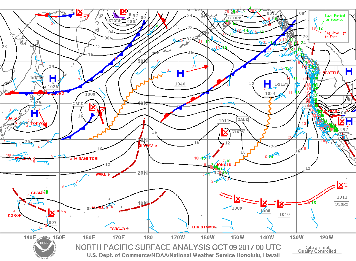
**Click directly on the images below to make them larger. Charts include: Big Island high/low forecasted temperatures, projected winds, chance of cloud cover, projected localized weather conditions, vog/SO2 forecast and expected wave heights.**
Looking Ahead
Monday is a transition day from light wind conditions to trade wind conditions. A weak disturbance high in the atmosphere is forecast to develop near the islands starting Tuesday. This could cause a slight increase in windward and mauka showers. Deep tropical moisture is expected to spread up from the southeast over the islands by the middle of the week with humid conditions and a wet trade wind weather pattern starting Thursday.
Today
We expect variable winds up to 15 mph today. Mostly sunny skies are forecast for the morning with afternoon clouds building and the possibility of scattered windward showers and isolated leeward showers. Hazy skies. Temperatures up to 83° to 88° and feeling warmer due to the light wind conditions.
UV index at 9 (“very high” exposure level)
Tonight
Mostly cloudy skies with scattered windward showers and isolated leeward showers. Low temperatures from 71° to 76°. Winds are expected to be variable to 15 mph.
Our Big Island Now Weather homepage always includes daily: Sunrise | Sunset | Moonrise | Moonset | Moon Phase | Live Weather Cams | 5-day Forecast | Current Temperature & Conditions
**Click here for your detailed Big Island surf report.**


