Swells are Fading, NNW for Tuesday
Alerts (as of 1:00 a.m.)
There are no weather alerts posted at this time.
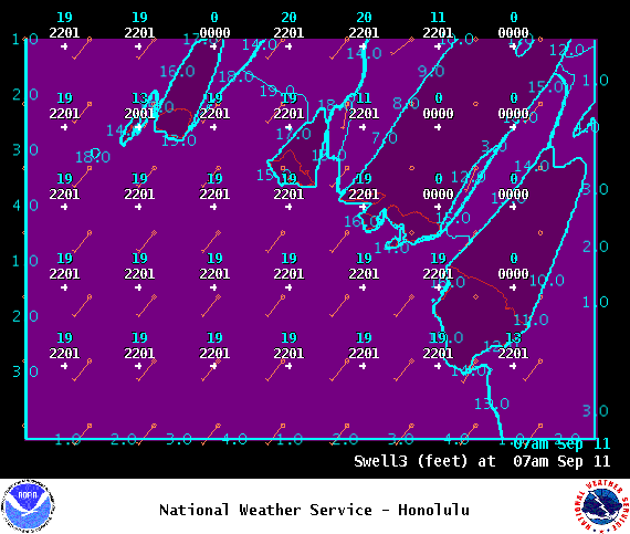
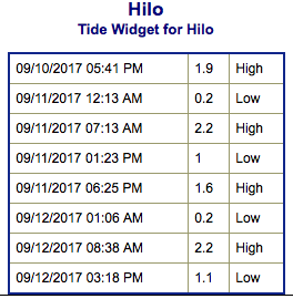
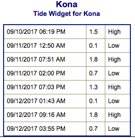
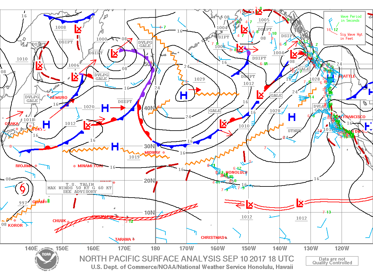
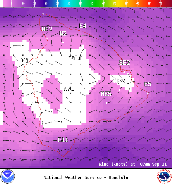
**Click directly on the images below to make them larger. Charts include: Big Island projected winds, tides, swell direction & period and expected wave heights.**
Big Island Surf Forecast
Hilo side: Surf heights are expected to knee/waist high to occasionally chest high today.
Kona side: Surf heights are expected to be up to knee high today. Only trace amounts are expected to wrap into the Kona side.
South: Surf heights are expected to be knee high today or less.
Our current southerly swell down to just traces. There is a storm that could bring maybe waist high sets around Wednesday, another stronger storm with a wider fetch is forecast for the weekend with wave heights possibly up to waist/chest high. Will keep an eye on these.
Our current northwest swell is fading and down to traces by Tuesday. A reinforcing swell from the north-northwest is due in Tuesday / Wednesday with waves getting up to chest high at the best breaks with this swell.
Keep in mind, surf heights are measured on the face of the wave from trough to crest. Heights vary from beach to beach, and at the same beach, from break to break.
Sponsored Content
Comments


