

Merrie Monarch Forecast: No Umbrella Needed
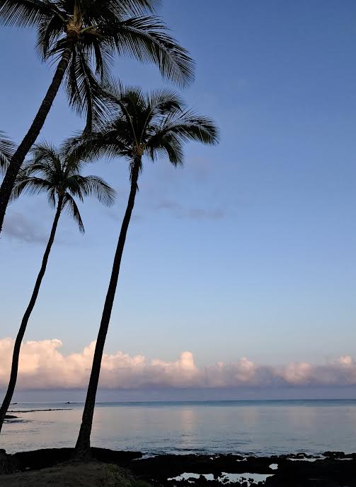
Image: James Grenz
Alerts (as of 1:00 a.m.)
There are no weather alerts posted at this time.
**Click directly on the images below to make them larger. Charts include: Big Island high/low forecasted temperatures, projected winds, chance of cloud cover, projected localized weather conditions, vog/SO2 forecast and expected wave heights.**
Looking Ahead
While a front keeps the smaller islands quite wet through the weekend, the Big Island looks to remain outside of the main band of clouds and only isolated showers are expected through Friday until trade winds bring limited scattered showers to windward areas Friday night. Humid conditions are expected to continue through the weekend with drier trade wind weather expected early next week.
Today
We expect northeast winds today from 10 to 20 mph. High temperatures are forecast from 82° to 87°. Mostly sunny skies this morning with a slight chance of windward showers. Partly sunny with isolated afternoon showers for the Kona side.
UV index at 11 (“extreme” exposure level)
Tonight
Northeast winds are forecast around 10 to 20 mph. Partly cloudy skies with scattered windward showers and clearing skies for the Kona side. Low temperatures from 69° to 74°.
Our Big Island Now Weather homepage always includes daily: Sunrise | Sunset | Moonrise | Moonset | Moon Phase | Live Weather Cams | 5-day Forecast | Current Temperature & Conditions
**Click here for your detailed Big Island surf report.**
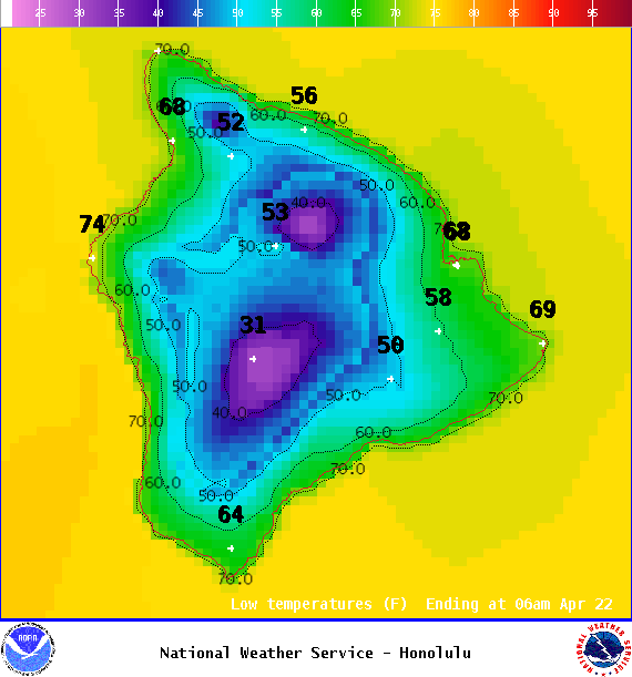
Image: NOAA
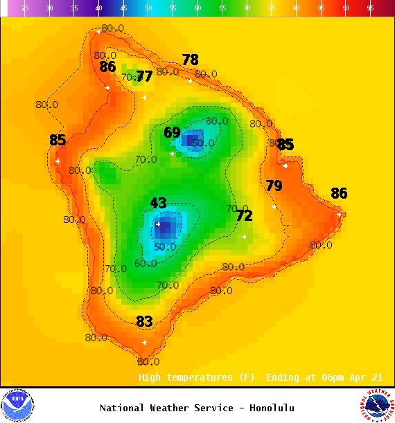
Image: NOAA
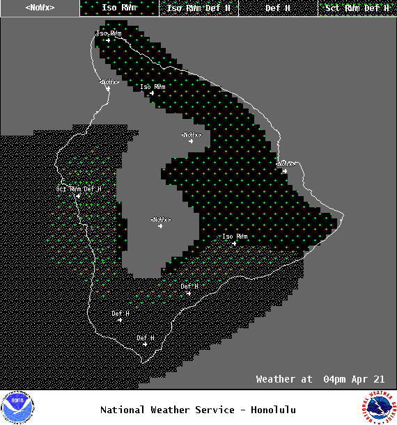
Image: NOAA

Image: NOAA
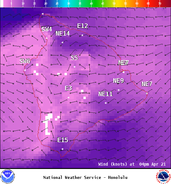
Image: NOAA
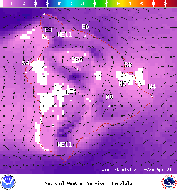
Image: NOAA

Image: NOAA

Image: NOAA
Sponsored Content


