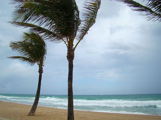
Cold Front, Strong Winds Heading for All Islands
At 3:46 a.m., HST, on Friday, Feb. 17, 2017, the National Weather Service reported that a cold front will move quickly through the state during the weekend.
This front is forecast to reach Kaua‘i Saturday afternoon, O‘ahu and Maui County Saturday night and the Big Island on Sunday, passing south of the Big Island Sunday evening.
Increasing northerly winds are expected immediately behind the front late Saturday afternoon and Saturday night, with a prolonged period of strong trade winds forecast for the entire state from Sunday through the middle of next week.
Sustained winds around 30 mph with gusts near 50 mph will be possible in the areas typically affected by strong trade winds during this time.
The strongest winds will occur over higher terrain, through mountain gaps and valleys, downslope of the mountains, and over areas such as Lāna‘i affected by strong winds channeled between larger islands.
Loose outdoor objects may become airborne under these strong winds. Prepare now by securing these objects before winds increase.
The strong cross winds may bring hazardous driving conditions, especially for high profile vehicles.
Localized power outages will be possible.
If you have outdoor plans, be prepared for windy conditions.
If your plans involve marine activities, you may want to consider postponing them, as gales will be possible in the windiest areas, such as the Alenuihaha Channel.
Sponsored Content
Comments


_1770333123096.webp)


