

Sunny Today, Front Approaches Soon

Image: James Grenz
Alerts (as of 1:00 a.m.)
There are no weather alerts posted at this time.
**Click directly on the images below to make them larger. Charts include: Big Island high/low forecasted temperatures, projected winds, chance of cloud cover, projected localized weather conditions, vog/SO2 forecast and expected wave heights.**
Looking Ahead
A relatively dry trade wind weather pattern is expected through Tuesday with just limited windward showers. That will change though as a weak front reaches Kauai Tuesday night and slowly moves down the island chain Wednesday through Friday as it weakens and falls apart. Low clouds and showers will affect our usual windward spots during that time. Cool and dry conditions are forecast to fill in behind the front and into the weekend. Another front is expected to approach from the northwest early next week.
Today
Partly sunny skies are expected today with scattered windward showers. Hazy for the Kona side with partly cloudy skies and isolated afternoon showers after morning sunshine. High temperatures from 77° to 82°. Winds will be variable to start then northeast around 15 mph.
UV index at 6 (“high” exposure level)
Tonight
Cool north winds are forecast around 15 mph. Partly cloudy skies with isolated showers for windward spots. Low temperatures from 65° to 70°.
Our Big Island Now Weather homepage always includes daily: Sunrise | Sunset | Moonrise | Moonset | Moon Phase | Live Weather Cams | 5-day Forecast | Current Temperature & Conditions
**Click here for your detailed Big Island surf report.**

Image: NOAA

Image: NOAA
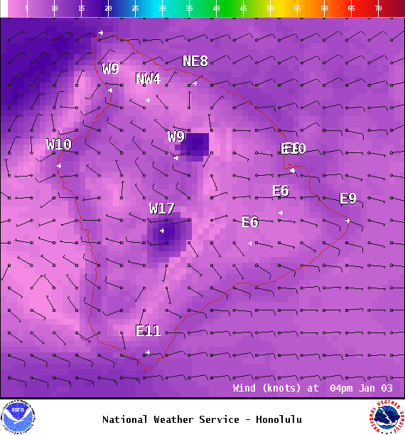
Image: NOAA
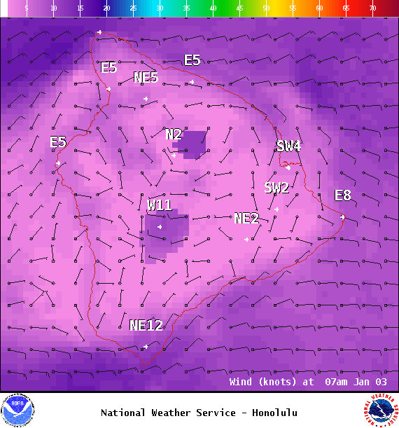
Image: NOAA

Image: NOAA

Image: NOAA

Image: NOAA
Sponsored Content


