

SSW Swell Builds Through the day
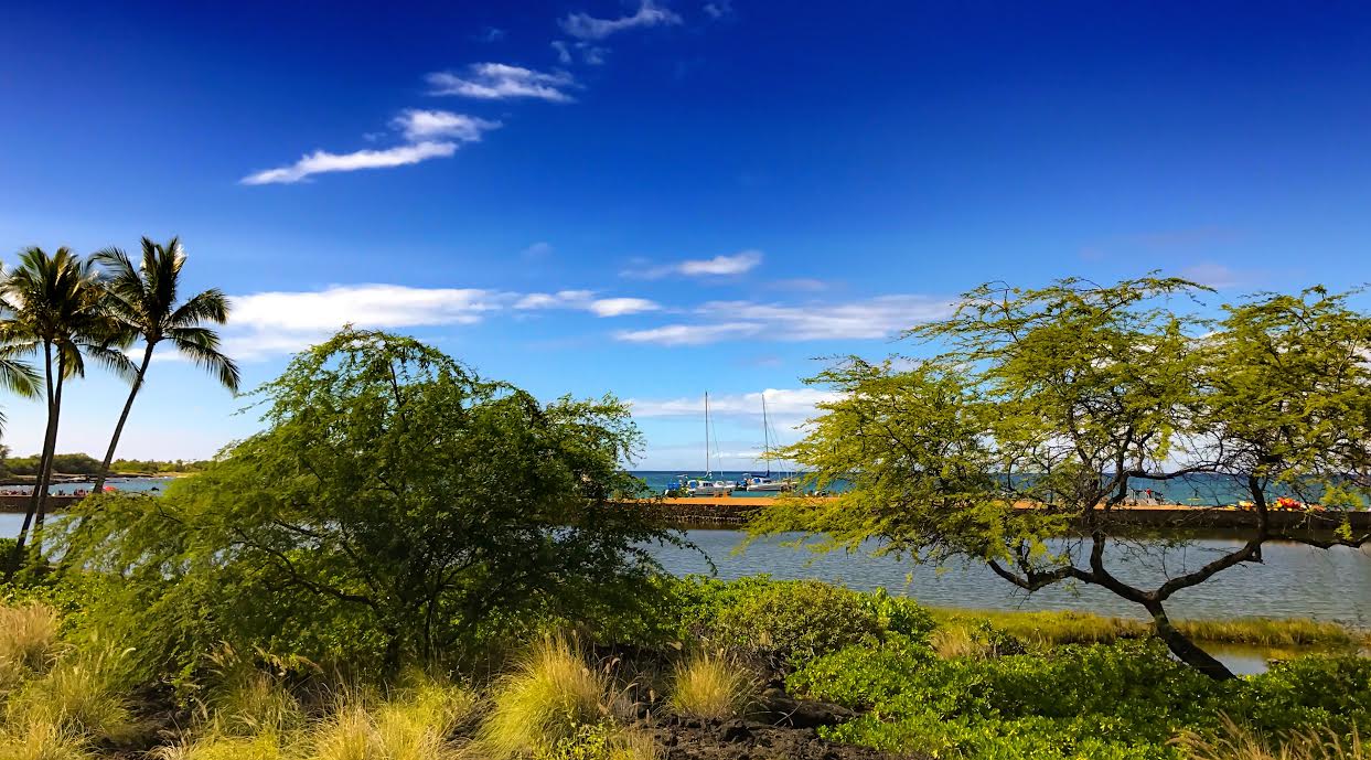
image: James Grenz
Alerts (as of 1:00 a.m.)
There are no weather alerts posted at this time.
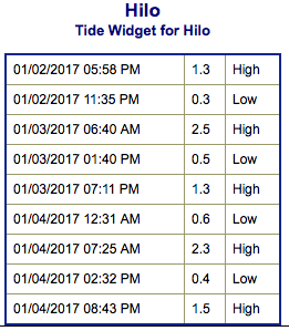
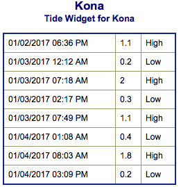
**Click directly on the images below to make them larger. Charts include: Big Island projected winds, tides, swell direction & period and expected wave heights.**
 Big Island Surf Forecast
Hilo side: Wave heights are forecast to be waist/shoulder high today for the best breaks.
Kona side: Wave heights are expected to be knee/waist high today in the morning with the best breaks getting up to chest/shoulder high by the afternoon.
South: Wave heights are expected to be knee/waist high today in the morning with the best breaks getting up to chest/shoulder high by the afternoon.
 A long period south-southwest swell is building today with larger waves expected in the afternoon than in the morning. The swell will peak on Wednesday but hold much of its size through Thursday.
North-northwest swell continues and will wrap just a little to the Kona side but primarily affect the Hilo side. A blend of northwest and northeast energy is bringing waist/shoulder high waves to the Hilo side Monday and is forecast to rebuild Wednesday and Thursday.
Keep in mind, surf heights are measured on the face of the wave from trough to crest. Heights vary from beach to beach, and at the same beach, from break to break.
**Click here for your detailed Big Island weather report.**
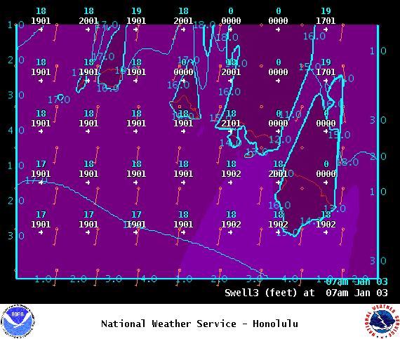
Image: NOAA
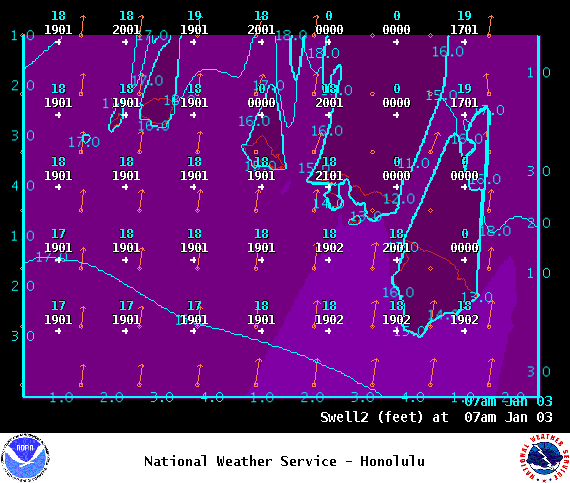
Image: NOAA
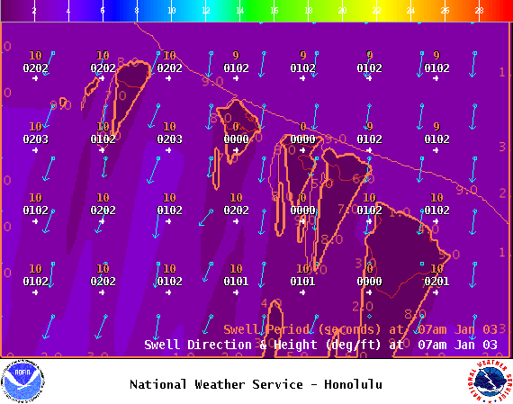
Image: NOAA

Image: NOAA
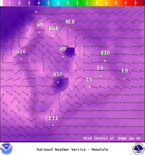
Image: NOAA
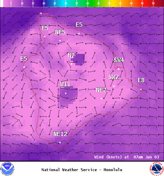
Image: NOAA


Sponsored Content

