

High Surf Advisory for East Shores, New Swells Ahead

Image: James Grenz
Alerts (as of 1:00 a.m.)
A Flash Flood Watch is posted for the Big Island through Sunday afternoon.
A High Surf Advisory is posted for east facing shores until 6 p.m. Saturday.
A Small Craft Advisory is posted for all windward Hawaii County waters and channels through 6 p.m. Saturday.
**Click directly on the images below to make them larger. Charts include: Big Island projected winds, tides, swell direction & period and expected wave heights.**
 Big Island Surf Forecast
Hilo side: Wave heights are forecast head high to overhead today for the best breaks.
Kona side: Wave heights are expected to be waist high and topping out at chest/shoulder high at the best breaks.
South: Wave heights are expected to be waist high and topping out at chest/shoulder high at the best breaks. Spots that are more open to the northwest wrap will be bigger.
 East-northeast trades are creating a trade wind swell for the Hilo side through the next few days.
A solid northwest is expected to begin fading Saturday and into Sunday.
A small southwest swell is expected to build Sunday and Monday up to knee/waist high and inconsistent.
Keep in mind, surf heights are measured on the face of the wave from trough to crest. Heights vary from beach to beach, and at the same beach, from break to break.
**Click here for your detailed Big Island weather report.**

Image: NOAA

Image: NOAA

Image: NOAA
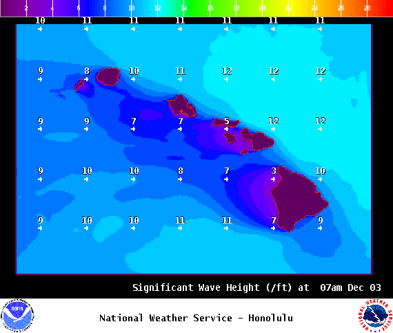
Image: NOAA
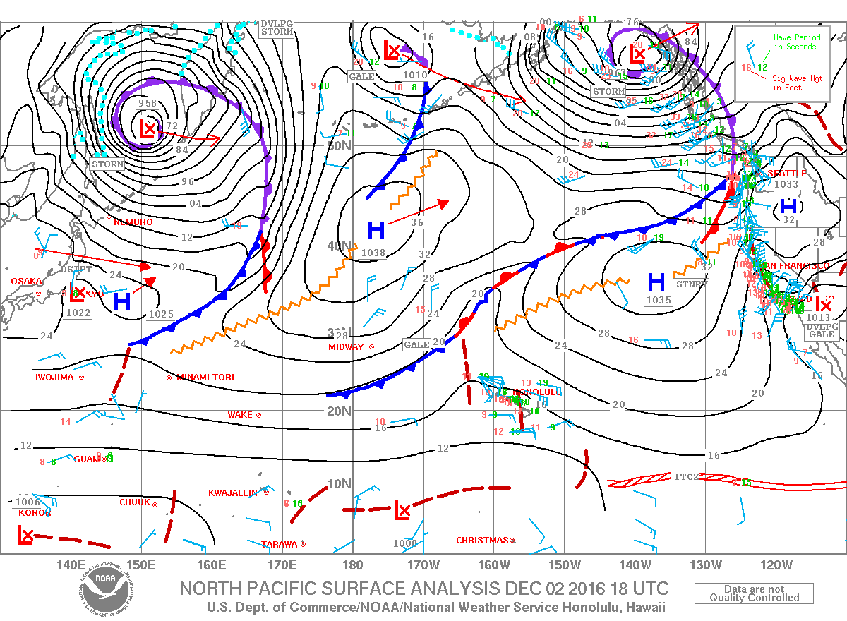
Image: NOAA
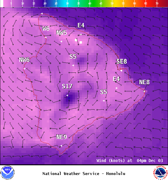
Image: NOAA
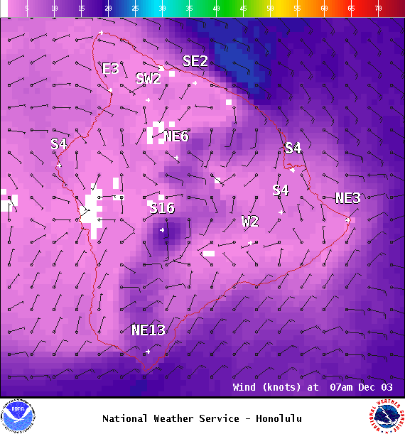
Image: NOAA
Sponsored Content


