

Nice Today, Tuesday Weather Deteriorates

Image: James Grenz
Alerts (as of 1:00 a.m.)
A Small Craft Advisory is posted for all Hawaii County waters through 6 p.m. Monday.
A High Surf Advisory is posted for east facing shores until 6 p.m. Monday.
**Click directly on the images below to make them larger. Charts include: Big Island high/low forecasted temperatures, projected winds, chance of cloud cover, projected localized weather conditions, vog/SO2 forecast and expected wave heights.**
Looking Ahead
Breezy trade winds will bring limited showers to windward and mauka areas through Tuesday. Showers will increase Tuesday night as a disturbance high in the atmosphere moves over the state. Locally heavy showers will be possible at that time. Trade winds are forecast to decrease toward the end of the week with wet weather possible for the islands through the weekend.
Today
Partly cloudy for windward spots with scattered showers. Hazy for the Kona side with clear skies in the morning and building clouds in the afternoon and isolated showers. High temperatures from 80° to 85°. Winds will be out of the east from 15 to 20 mph.
UV index at 6 (“high” exposure level)
Tonight
Winds will be northeasterly from 15 to 20 mph. Mostly cloudy with scattered showers in windward spots. Kona side should be clearing as the night goes on. Low temperatures from 67° to 72°.
Our Big Island Now Weather homepage always includes daily: Sunrise | Sunset | Moonrise | Moonset | Moon Phase | Live Weather Cams | 5-day Forecast | Current Temperature & Conditions
**Click here for your detailed Big Island surf report.**

Image: NOAA

Image: NOAA

Image: NOAA

Image: NOAA
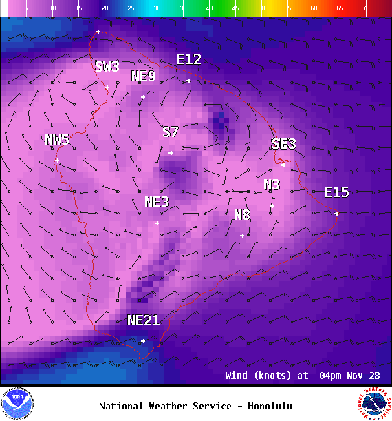
Image: NOAA
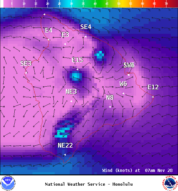
Image: NOAA
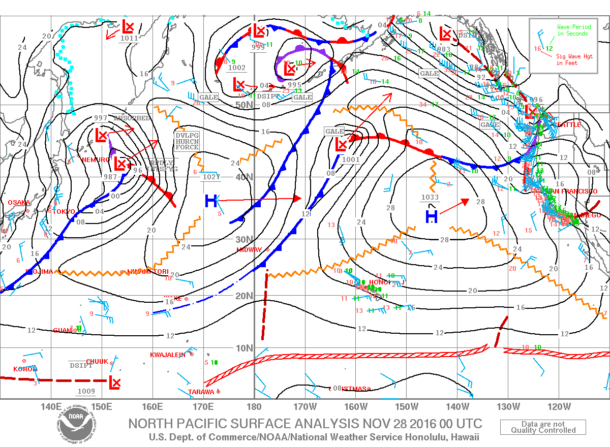
Image: NOAA
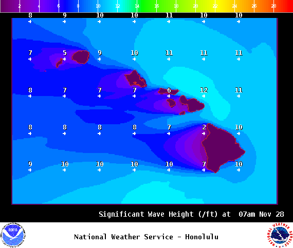
Image: NOAA
Sponsored Content


