

Breezy Trade Winds Continue for Big Island

Image: James Grenz
Alerts (as of 1:00 a.m.)
A Small Craft Advisory is posted for our usually choppy waters through 6 p.m. Wednesday.
**Click directly on the images below to make them larger. Charts include: Big Island high/low forecasted temperatures, projected winds, chance of cloud cover, projected localized weather conditions, vog/SO2 forecast and expected wave heights.**
Looking Ahead
Breezy trade winds are forecast to continue for at least the next week. Low clouds and showers will affect our usual windward and mauka spots, especially during nights and mornings. Clouds and showers from an old front are expected to move through the island chain this weekend.
Today
Partly sunny for windward spots with scattered showers in the morning. Hazy for the Kona side with with clear skies in the morning and building clouds. High temperatures from 81° to 86°. Winds will be out of the east from 15 to 20 mph.
UV index at 7 (“high” exposure level)
Tonight
Winds will be easterly from 15 to 20 mph. Mostly cloudy with numerous windward showers. Kona side should be clearing as the night goes on. Low temperatures from 68° to 73°.
Our Big Island Now Weather homepage always includes daily: Sunrise | Sunset | Moonrise | Moonset | Moon Phase | Live Weather Cams | 5-day Forecast | Current Temperature & Conditions
**Click here for your detailed Big Island surf report.**

Image: NOAA

Image: NOAA

Image: NOAA

Image: NOAA
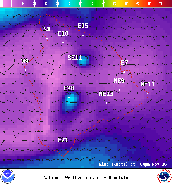
Image: NOAA
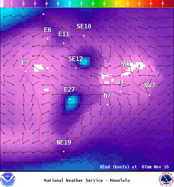
Image: NOAA
Image: NOAA
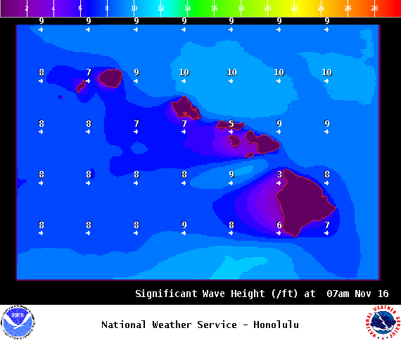
Image: NOAA
Sponsored Content


