

SW Reinforcement Expected, Swells Fading

Image: James Grenz
Alerts (as of 1:00 a.m.)
There are no weather alerts posted at this time.
**Click directly on the images below to make them larger. Charts include: Big Island projected winds, tides, swell direction & period and expected wave heights.**
 Big Island Surf Forecast
Hilo side: Wave heights for spots exposed to the swell are expected to be ankle/waist high today and on an easing trend.
Kona side: Wave heights are expected to be ankle/waist high. Chest high at the best breaks on the sets.
South: Wave heights are expected to be knee/waist high with the best breaks at chest high.
 South-southeast swell is on an easing trend. Another southwest swell is expected to fill in Wednesday and reinforce wave heights for some exposures.
A northwest swell is expected to be down to leftovers today. A new very small northwest swell is expected to fill in June 2nd/3rd.
Keep in mind, surf heights are measured on the face of the wave from trough to crest. Heights vary from beach to beach, and at the same beach, from break to break.
**Click here for your detailed Big Island weather report.**
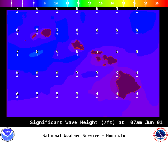
Image: NOAA / NWS

Image: NOAA / NWS

Image: NOAA / NWS

Image: NOAA / NWS
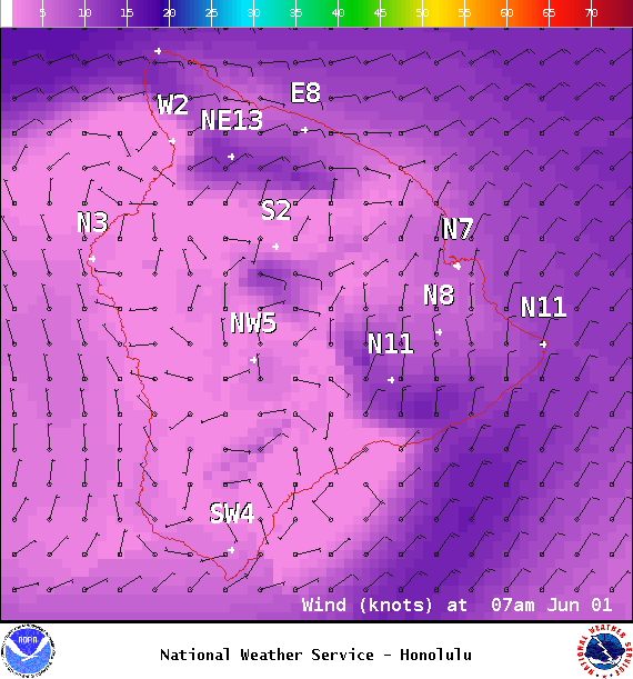
Image: NOAA / NWS
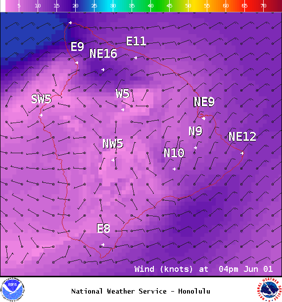
Image: NOAA / NWS
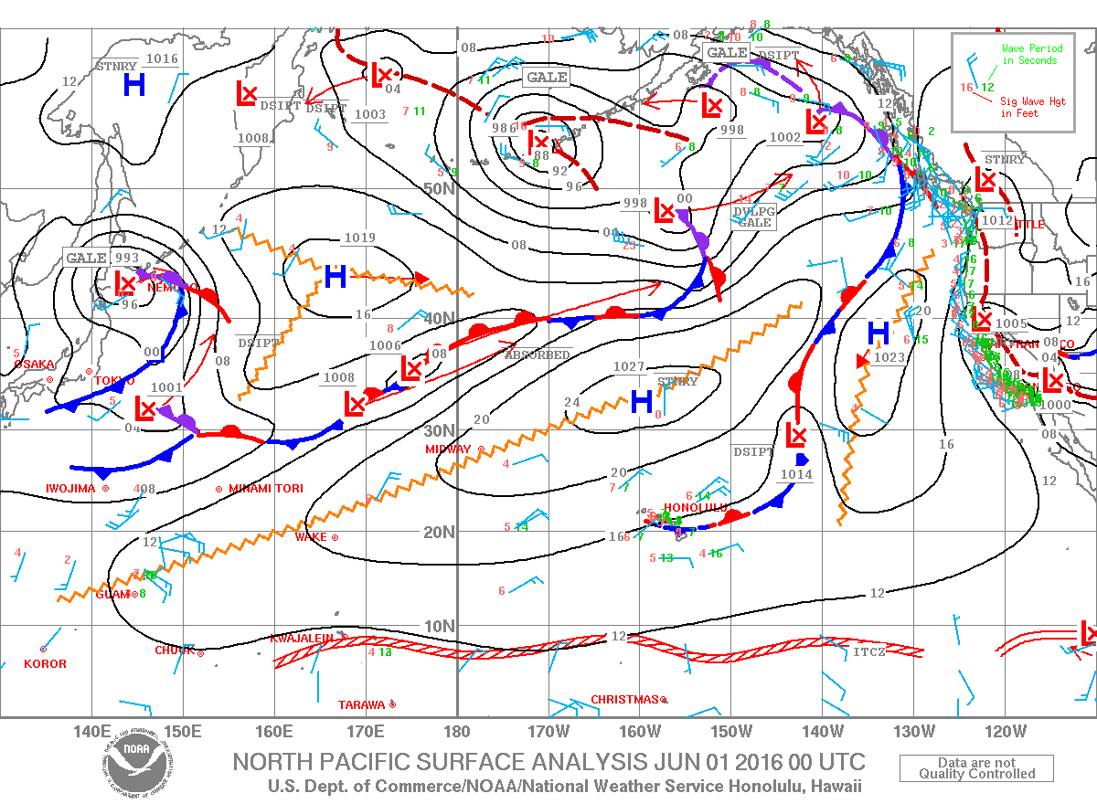
Image: NOAA / NWS
Sponsored Content


