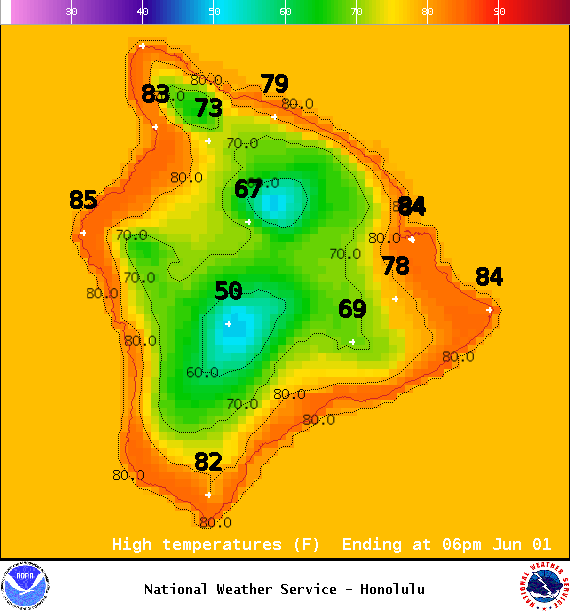
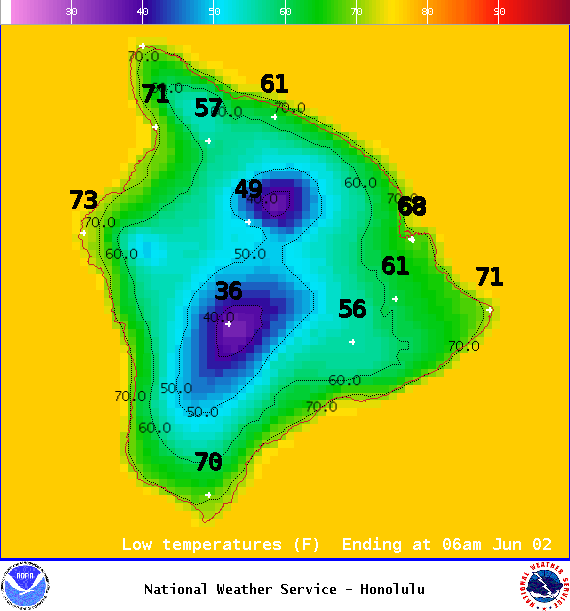
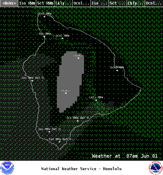
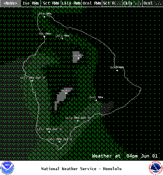
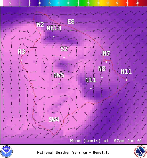
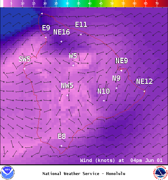
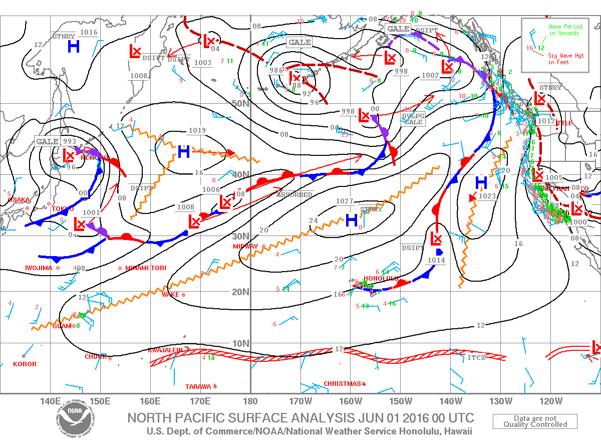
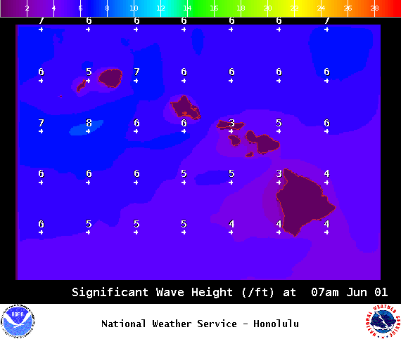
**Click directly on the images below to make them larger. Charts include: Big Island high/low forecasted temperatures, projected winds, chance of cloud cover, projected localized weather conditions, vog/SO2 forecast and expected wave heights.**
+
SWIPE LEFT OR RIGHT
ARTICLE CONTINUES BELOW AD
ARTICLE CONTINUES BELOW AD
Looking Ahead
Locally breezy trade winds will push a cloud band over the state keeping windward areas rather wet through Wednesday. Drier conditions are expected starting Wednesday night as the shower band shifts south and dissipates. Winds will also subside. Daytime sea breezes and nighttime land breezes are expected from Friday through Monday with afternoon clouds and showers over interior areas. Next week a return to breezy trade winds and windward showers is forecast.
ARTICLE CONTINUES BELOW AD
Today
We expect cloudy skies and occasional showers for windward spots today. The Kona side should be mostly sunny in the morning with mostly cloudy skies in the afternoon and scattered showers over mauka spots. Hazy skies are expected. Winds are northeast around 15 mph with local sea breezes developing. High temperatures from 80° to 85°.
UV index at 12 (“extreme” exposure level)
ARTICLE CONTINUES BELOW AD
Tonight
Trade winds tonight around 15 mph. Windward spots are forecast to be mostly cloudy with showers likely. For the Kona side, clouds will clear as the night goes on and the land breeze takes hold. Low temperatures from 68° to 73°.
This comments section is a public community forum for the purpose of free expression. Although Big Island Now encourages respectful communication only, some content may be considered offensive. Please view at your own discretion. View Comments