

Hazy, Humid and Hot Again Today

Image: Greg Ruhland / Honoli’i
Alerts (as of 1:00 a.m.)
A High Surf Warning is posted through 6 p.m. Thursday for the west side of the Big Island.
A Small Craft Advisory is in effect for the Alenuihaha channel and windward waters through 6 p.m. Thursday.
**Click directly on the images below to make them larger. Charts include: Big Island high/low forecasted temperatures, projected winds, chance of cloud cover, projected localized weather conditions, vog/SO2 forecast and expected wave heights.**
Looking Ahead
Light winds and a rather dry, stable weather pattern will continue through Friday. Returning trades Saturday will usher in some windward clouds and possibly a few showers. Winds will return to light and variable next week as another weak front approaches.
Today
Variable winds are expected today from 5 to 15 mph. Mostly sunny skies in the morning with partly sunny skies in the afternoon as the sea breeze kicks up and cloud cover builds. Only isolated light showers are expected. Hazy conditions are likely under these conditions. High temperatures from 80° to 85°.
UV index at 8 (“very high” exposure level)
Tonight
Variable winds are expected up to 15 mph tonight. Low temperatures from 69° to 74°. Mostly clear skies are expected.
Our Big Island Now Weather homepage always includes daily: Sunrise | Sunset | Moonrise | Moonset | Moon Phase | Live Weather Cams | 5-day Forecast | Current Temperature & Conditions
**Click here for your detailed Big Island surf report.**

Image: NOAA / NWS

Image: NOAA / NWS

Image: NOAA / NWS

Image: NOAA / NWS

Image: NOAA / NWS

Image: NOAA / NWS
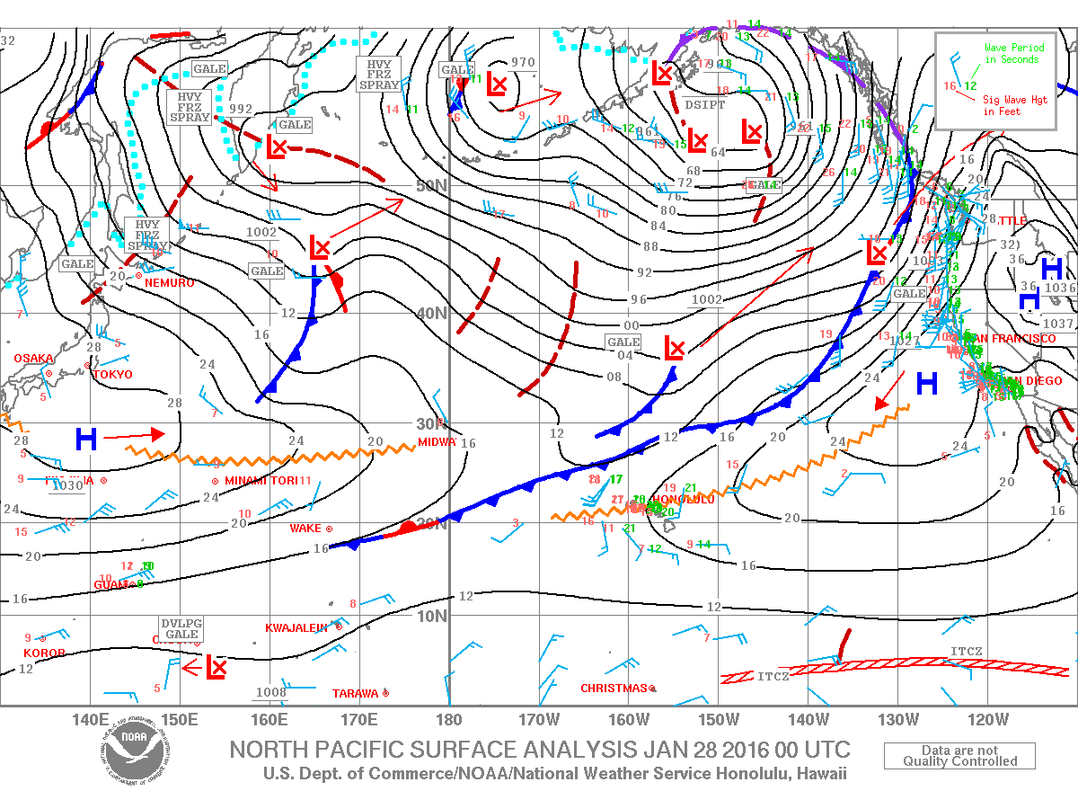
Image: NOAA / NWS

Image: NOAA / NWS

Image: UHSOEST
Sponsored Content


