

Breezy Winds, Hurricane Season Comes to End
Alerts
A Small Craft Advisory is posted for all Big Island coastal waters and the ʻAlenuihāhā channel through 7 p.m. Monday for northeast winds up to 25 knots and seas up to 13 feet.
A High Surf Advisory is posted through 7 p.m. Monday morning for 12 to 16 foot faces for north facing shores of the Big Island.
A Wind Advisory is posted through 7 p.m. Monday for northeast winds of 25 to 25 ph with gusts up to 50 mph near the Kohala mountains.
Check our breaking news section for any urgent weather alerts.
**Click directly on the images below to make them larger. Charts include: Big Island high/low forecasted temperatures, projected winds, chance of cloud cover, projected localized weather conditions, vog/SO2 forecast and expected wave heights.**
Looking Ahead
The trades are expected to ease a little on Monday. On Wednesday we expect a reinforcement in the trades. The forecast will remain relatively dry and stable over the next several days. Fair weather is expected aside from some mainly light trade wind showers for windward and mauka sections.
Today
Today breezy conditions are expected with northeast winds from 10 to 25 mph. Showers are likely for windward and mauka spots in the morning with sunshine in the afternoon. The Kona side is expected to be dry with afternoon cloud build up. High temperatures from 81° to 86°.
UV index at 7 (“high” exposure level)
Tonight
Northeast winds are expected in the evening from 10 to 25 mph. Low temperatures from 70° to 75°. Mostly cloudy skies are expected in the evening with showers likely for windward spots. Leeward spots should be clearing as the night goes on.
Our Big Island Now Weather homepage always includes daily: Sunrise | Sunset | Moonrise | Moonset | Moon Phase | Live Weather Cams | 5-day Forecast | Current Temperature & Conditions
**Click here for your detailed Big Island surf report.**

Image: NOAA / NWS

Image: NOAA / NWS

Image: NOAA / NWS

Image: NOAA / NWS
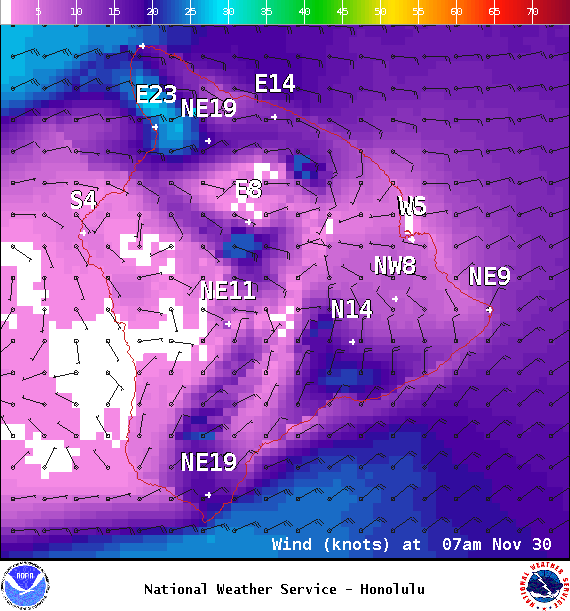
Image: NOAA / NWS
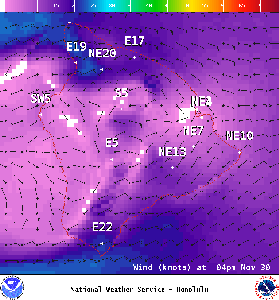
Image: NOAA / NWS
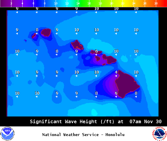
Image: NOAA / NWS
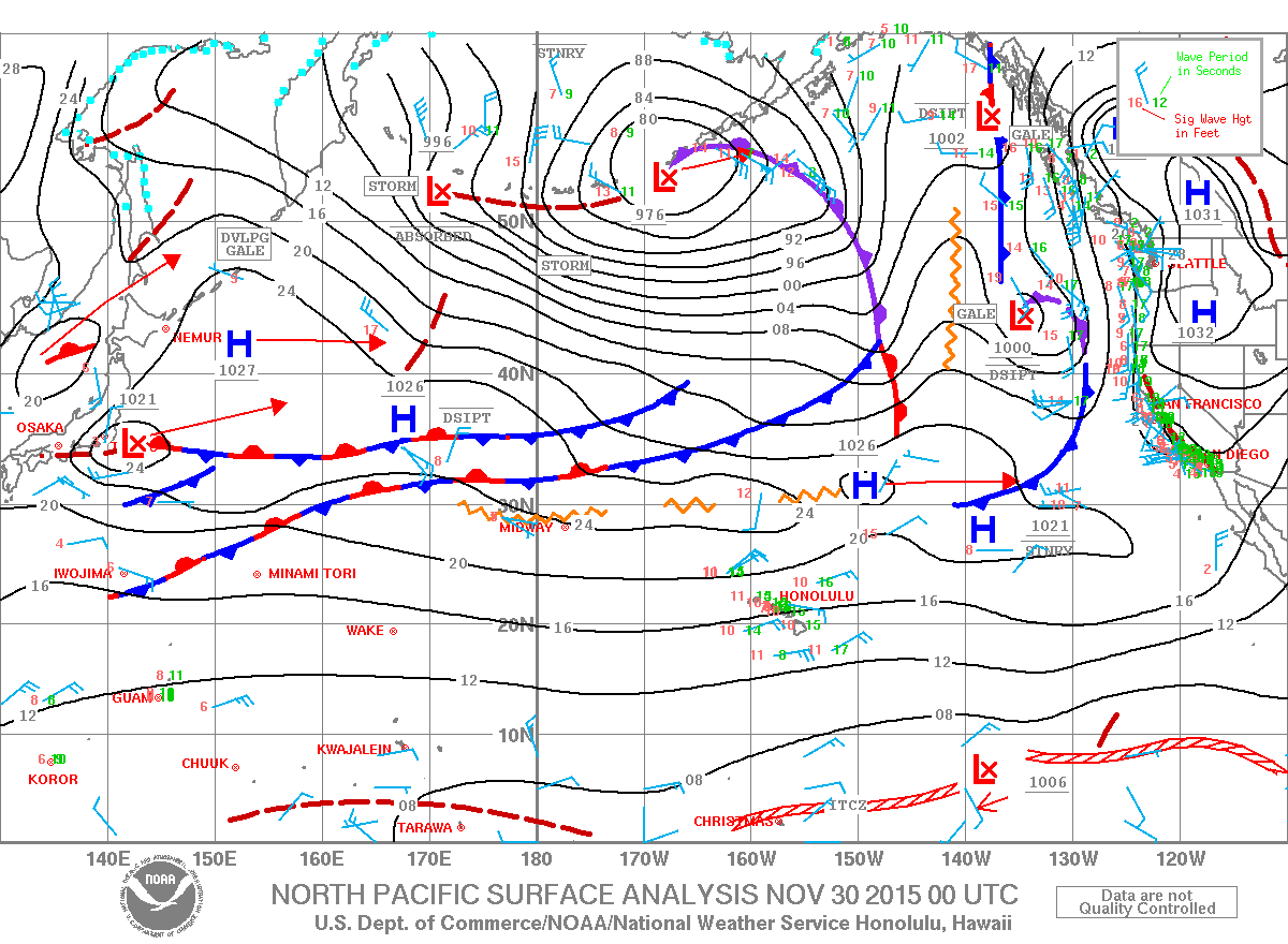
Image: NOAA / NWS
Sponsored Content


