

High Surf Continues for ESE Exposures
Alerts
A Tropical Storm Warning is in effect for offshore waters beyond 40 nm and out to 240 nm.
A High Surf Advisory is posted for east shores through 6:00 p.m. Tuesday. Wave heights of 5 to 8 feet are expected Tuesday. Expect strong breaking waves, shore break and strong longshore and rip currents making swimming difficult and dangerous.
**Click directly on the images below to make them larger. Charts include: Big Island projected winds, tides, swell direction & period and expected wave heights.**
 Big Island Surf Forecast
Hilo side: Head high to overhead waves are expected today. Later in the day waves may get well overhead to possibly even double overhead on the sets.
Kona side: Wave heights ankle/thigh high are expected. Most spots are pretty flat.
South: Wave heights ankle/thigh high are expected for spots not catching the Guillermo swell. Otherwise, spots picking up the tropical energy could be head high to a few feet overhead.
 Mid period energy is expected from Guillermo for east-southeast exposures. The period is expected to decrease a tad Tuesday. Wednesday swell will be strongest in the morning with possibly even near triple overhead waves at the best exposures on the sets. Swell expected to drop off late Wednesday and Thursday.
Small to modest ENE tradeswell will also blend in. Nothing out of the NPAC is expected.
Super small southern hemi mix is expected the next few days. A better swell is expected for the second half of the work week.
Keep in mind, surf heights are measured on the face of the wave from trough to crest. Heights vary from beach to beach, and at the same beach, from break to break.
**Click here for your detailed Big Island weather report.**
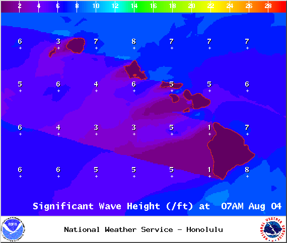
Image: NWS / NOAA

Image: NWS / NOAA

Image: NWS / NOAA
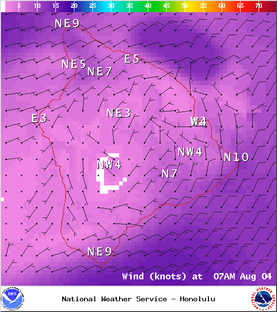
Image: NWS / NOAA
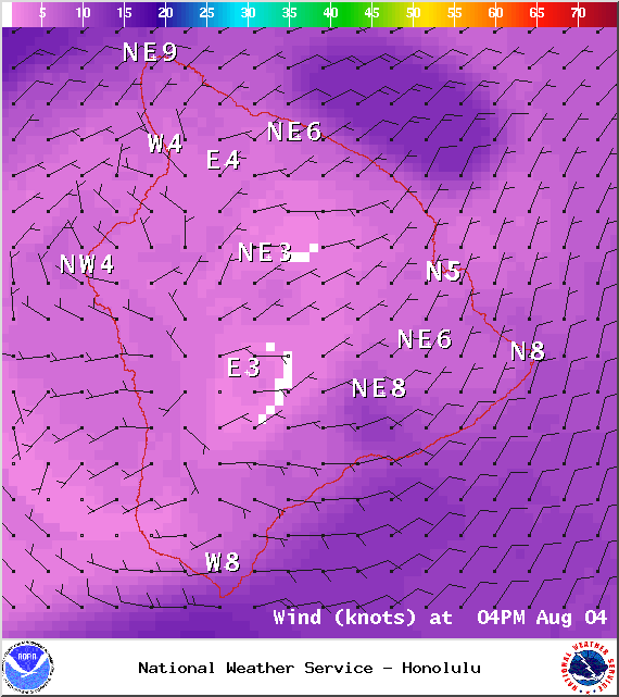
Image: NWS / NOAA
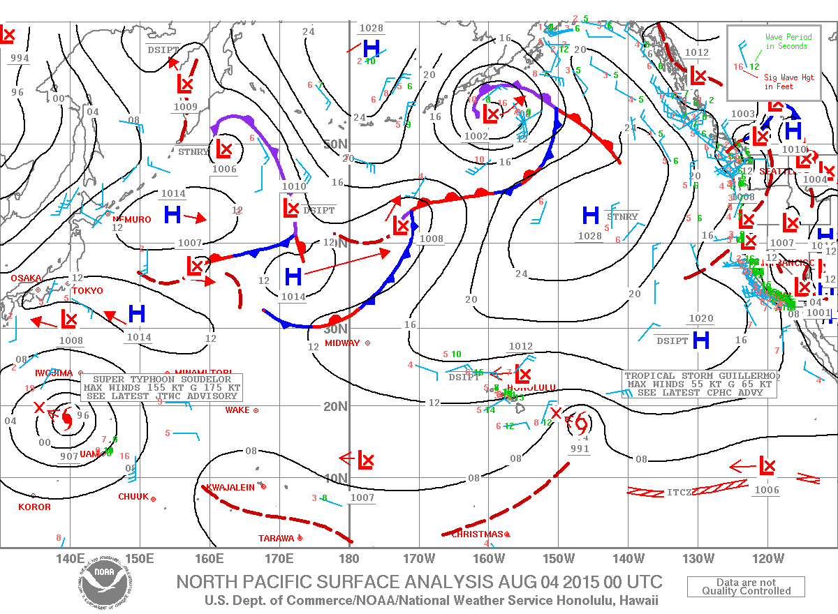
Image: NWS / NOAA
Sponsored Content


