New Swells as we Head Into The New Year
Alerts
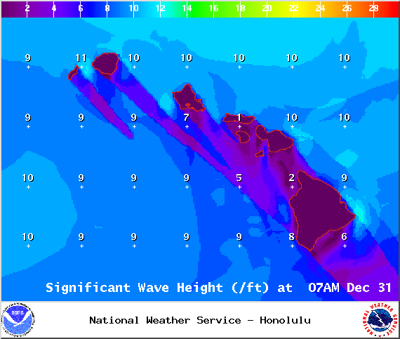
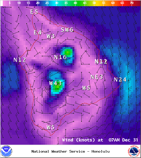
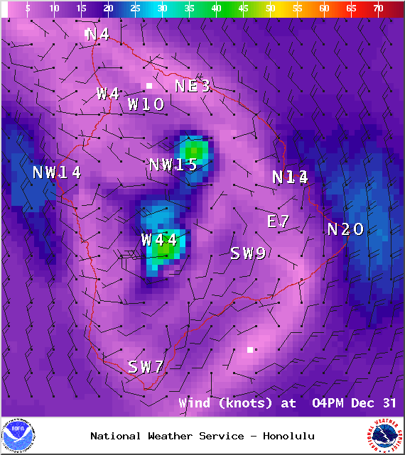
A Small Craft Advisory is posted for all Big Island coastal waters and channels through 6:00 a.m. Wednesday Dec. 31, 2014. Winds are expected out of the northeast from 15 to 30 knots with higher gusts with rough seas rising to 7 to 17 feet.
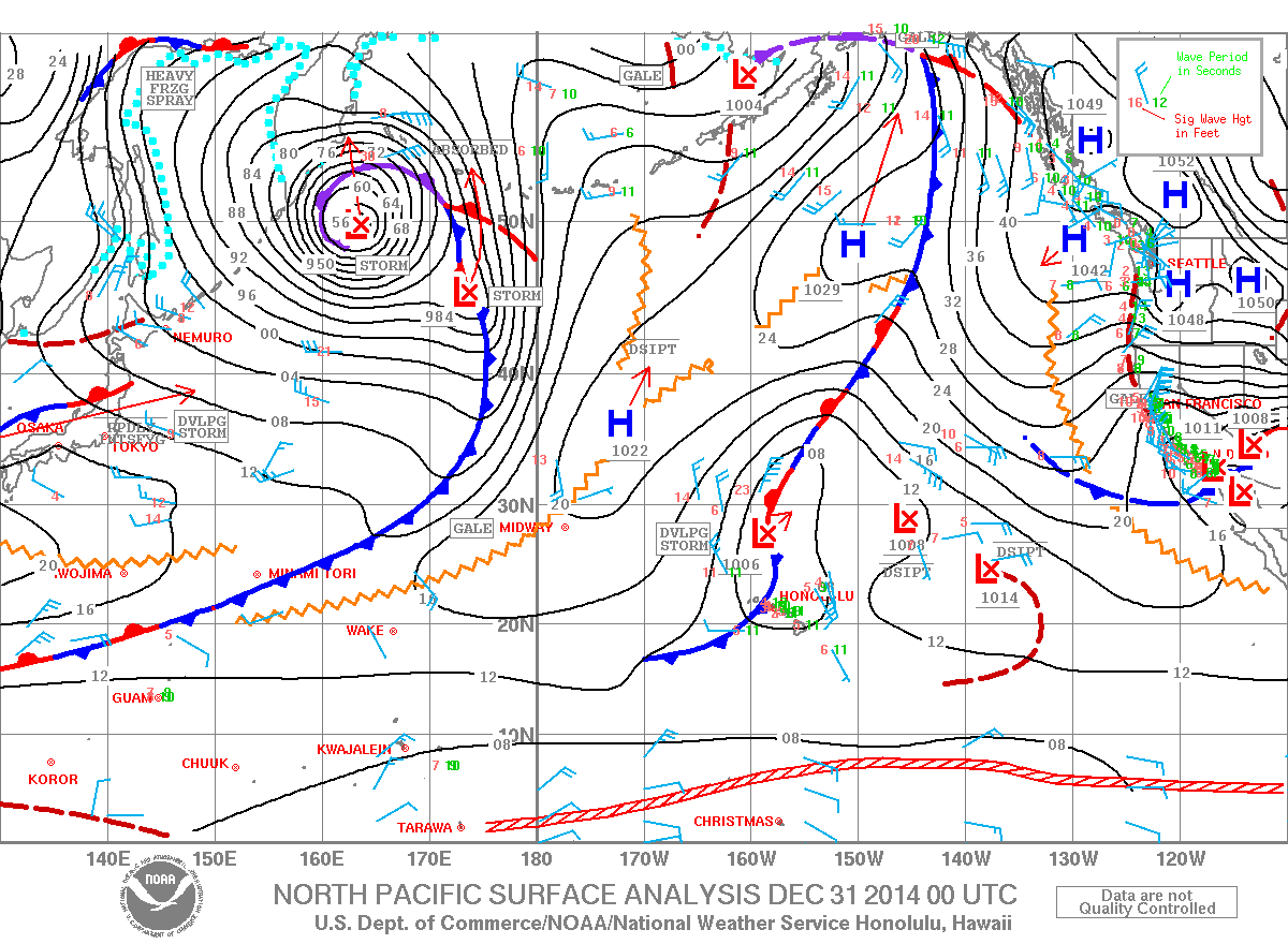
A Marine Weather Statement has been issued by the National Weather Service. A front will bring a distinct shift and increase in winds from westerly to northwesterly. Along the front and after it passes winds will increase to 20 to 30 knots with higher gusts. Seas are expected to become rough and steep at 7 to 17 feet. Isolated thunderstorms and lightning could occur ahead of and along the front.
**Click directly on the images below to make them larger. Charts include: Big Island projected winds, tides, swell direction & period and expected wave heights.**
 Big Island Surf Forecast, New Year’s Eve, December 31
Hilo side: Surf heights are expected from waist to about head high at the best breaks along the Hamakua coast early in the day. Rising swell with overhead waves by the end of the day.
Kona side: Surf heights expected from ankle to about knee high.
South: Surf is knee to waist high for exposures open to the trade swell. Ankle to knee high (at best) everywhere else.
 We expect a boost of surf energy out of the northwest Wednesday and through the end of the week. Energy lingers into the weekend as it fades out. Since the energy is coming from several directions, it will be a bit haphazard at times.
New overlapping swells are expected for the weekend and beyond for north and west shores. Still pending development of storms. Will keep an eye on it.
Nothing of note out of the SPAC to get excited about.
Keep in mind, surf heights are measured on the face of the wave from trough to crest. Heights vary from beach to beach, and at the same beach, from break to break.
Sponsored Content
Comments


