

HVO UPDATE: Earthquake was Widely Felt Across East Hawai‘i
Hawaiian Volcano Observatory released an update on Tuesday, April 30, 2019.
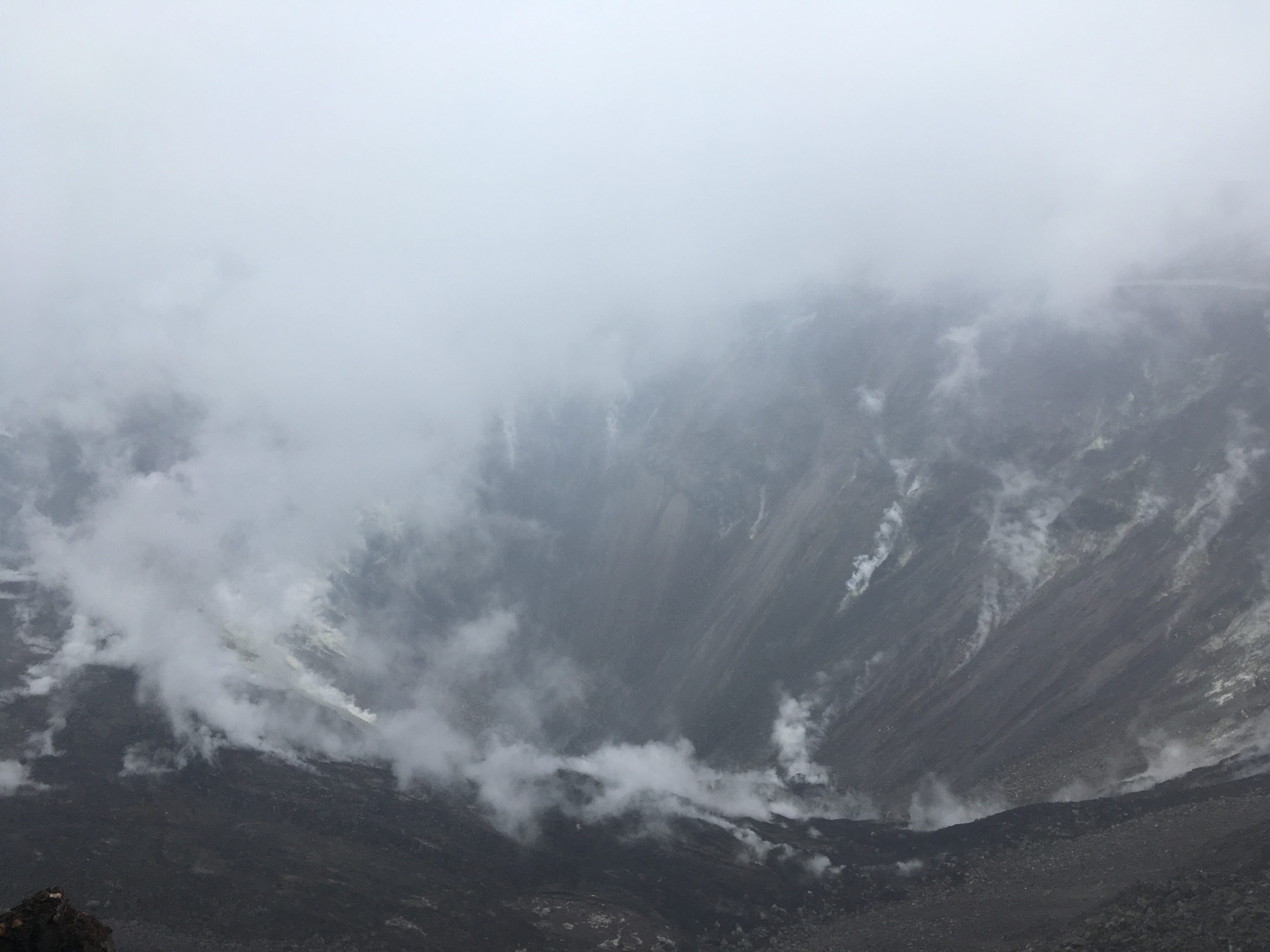
HVO geologists made a routine visit to the webcam that monitors Halema‘uma‘u. No changes were observed in the pit, but views were hampered by poor weather and thick fog. PC: USGS
Kīlauea Volcano is not erupting. Monitoring data over the past eight months have shown relatively low rates of seismicity, deformation, and gas emission at the summit and East Rift Zone (ERZ) including the area of the 2018 eruption.
A magnitude 4.2 earthquake occurred at 3:26 p.m. April 28, 2019, beneath the Kīlauea south flank, roughly 12 miles SE of the summit at a depth of 4.2 miles. This earthquake was widely felt across East Hawai‘i. It did not appear to result in any changes on the volcano.
As of March 26, Kīlauea Volcano is at NORMAL/GREEN. For definitions of USGS Volcano Alert Levels and Aviation Color Codes, go online.
Despite this classification, Kīlauea remains an active volcano, and it will erupt again. Although we expect clear signs prior to a return to eruption, the time frame of warning may be short. Island of Hawaiʻi residents should be familiar with the long-term hazard map for Kīlauea Volcano and how to stay informed about Kīlauea activity.
Observations: This past week saw no significant changes in monitoring data or volcanic activity. Low rates of seismicity were spiked somewhat by a magnitude M4.2 earthquake roughly 20km SE of the summit, beneath the south flank at a depth of 7km, and associated aftershocks. Generally low seismicity otherwise continues across the volcano, with earthquakes occurring primarily in the summit and south flank regions. GPS stations and tiltmeters continue to show motions consistent with refilling of the deep East Rift Zone magma reservoir. Sulfur dioxide emission rates from the summit and from Puʻu ʻŌʻō remain low.
A GPS station on the north flank of Puʻu ʻŌʻō has been showing steady slumping of the craters edge, and the motion has continued this week. This motion is interpreted to be sliding of the unstable edge of Puʻu ʻŌʻō cone, rather than having direct association with magmatic activity. Small collapses at Puʻu ʻŌʻō have occurred since the eruption due to local instability.
Hazards remain in the lower East Rift Zone eruption area and at the Kīlauea summit. Residents and visitors near the 2018 fissures, lava flows, and summit collapse area should heed Hawaii County Civil Defense and National Park warnings. Hawai‘i County Civil Defense advises that lava flows and features created by the 2018 eruption are primarily on private property and persons are asked to be respectful and not enter or park on private property.
The Hawaiian Volcano Observatory (HVO) continues to closely monitor Kīlauea’s seismicity, deformation, and gas emissions for any sign of increased activity. HVO maintains visual surveillance of the volcano with web cameras and occasional field visits. HVO will continue to issue a weekly update (every Tuesday) until further notice, and we will issue additional messages as warranted by changing activity.
Sponsored Content


