Series of Swells Expected This Week for Big Island
Marine Alerts (as of 1:00 a.m.)
High Surf Advisory: East facing shores of the Big Island through 6 a.m. Monday.
Small Craft Advisory: Through 6 a.m. Monday for northeast winds up to 25 knots and seas from 6 to 11 feet.
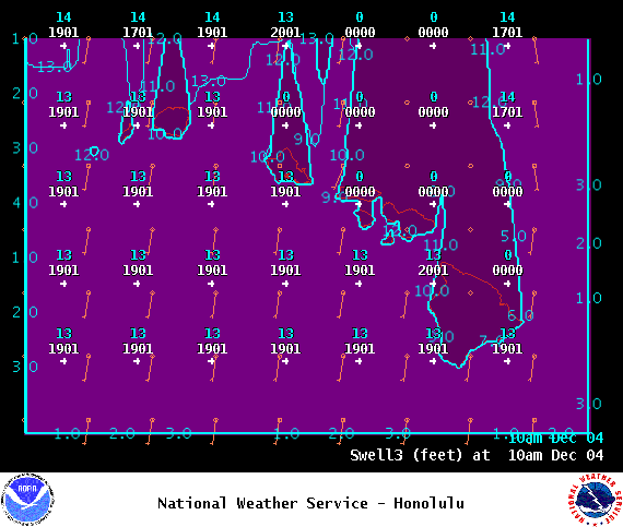
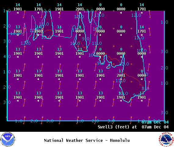
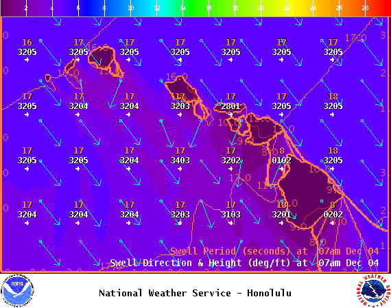
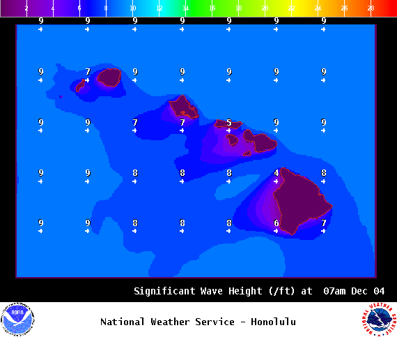
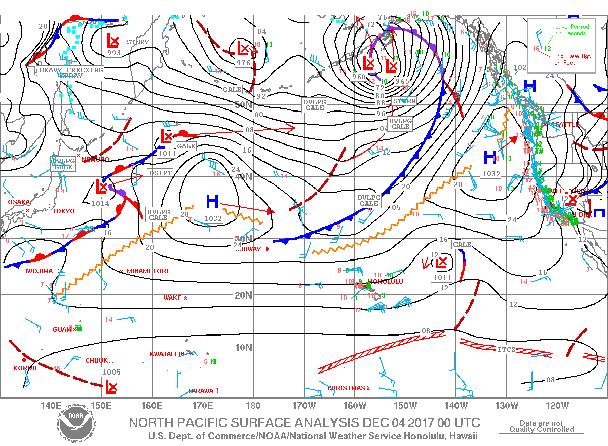
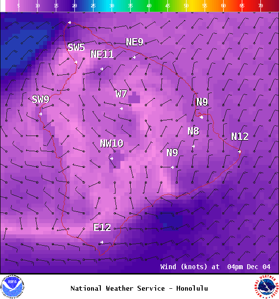
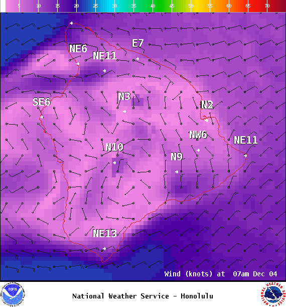
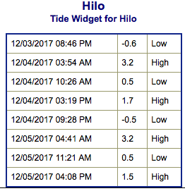
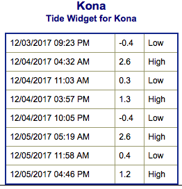
**Click directly on the images below to make them larger. Charts include: Big Island projected winds, tides, swell direction & period and expected wave heights.**
Big Island Surf Forecast
Hilo: Wave heights are expected to be shoulder high to a slightly overhead.
Kona: Wave heights are expected to be around waist high today.
South: Wave heights are expected to be around waist high today.
Our new north-northwest swell is filling in and building through the work week. Near advisory level surf is expected Monday. Tuesday we could be at warning levels as it becomes reinforced from the north-northwest.
The combo of north swell, north winds, high tides and beach erosion could lead to coastal flooding. Keep that in mind as you plan your day.
A northeast reinforcement is forecast to keep wave heights elevated through the first part of the work week.
A small south swell is forecast to fill in midweek.
Keep in mind, surf heights are measured on the face of the wave from trough to crest. Heights vary from beach to beach, and at the same beach, from break to break.


