Weather Transitioning This Weekend

Image: James Grenz
Alerts (as of 1:00 a.m.)
Small Craft Advisory: East winds up to 25 knots through 6 a.m. Monday.
**Click directly on the images below to make them larger. Charts include: Big Island high/low forecasted temperatures, projected winds, chance of cloud cover, projected localized weather conditions, vog/SO2 forecast and expected wave heights.**
Looking Ahead
Former Tropical Cyclone Greg is forecast to bring some showers through Saturday. The leeward Big Island districts will see some elevated showers Saturday afternoon. Saturday afternoon will be a transition day from wetter weather to more stable conditions with drier weather forecast to return by Sunday. Trade winds will continue into next week.
Today & Sunday
We expect trade winds around 15 mph with higher gusts. High temperatures are forecast from 83° to 88°. Mostly cloudy skies with showers likely for the Hilo side. For the Kona side, partly sunny morning and scattered showers in the afternoon with a slight chance of afternoon thunderstorms. Locally heavy rainfall is still possible for the Kona side. Sunday, we will see a drying trend with more stable weather and less rainfall.
UV index at 12 (“extreme” exposure level)
Tonight & Sunday Night
Trade winds are forecast up to 15 mph. Mostly cloudy skies with windward showers likely and isolated leeward showers. Low temperatures from 72° to 77°.
Our Big Island Now Weather homepage always includes daily: Sunrise | Sunset | Moonrise | Moonset | Moon Phase | Live Weather Cams | 5-day Forecast | Current Temperature & Conditions
**Click here for your detailed Big Island surf report.**
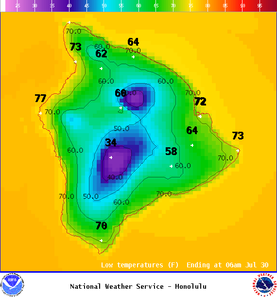
Image: NOAA
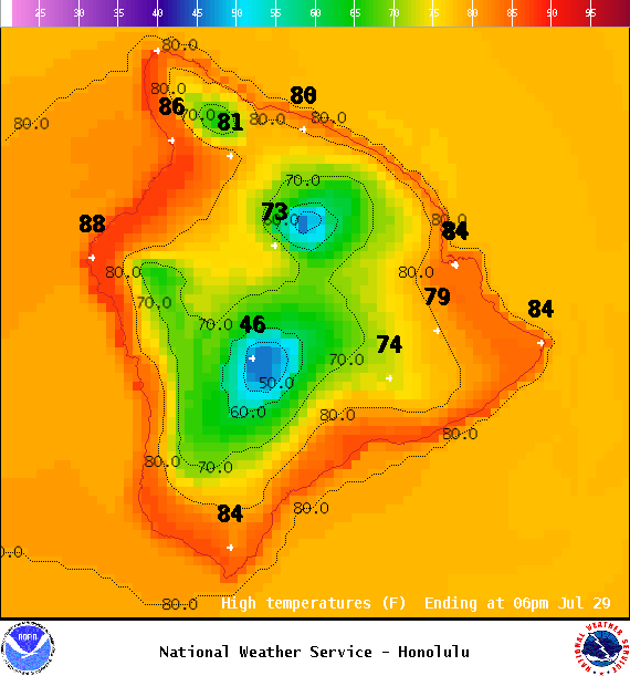
Image: NOAA
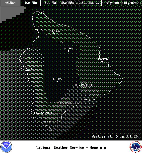
Image: NOAA
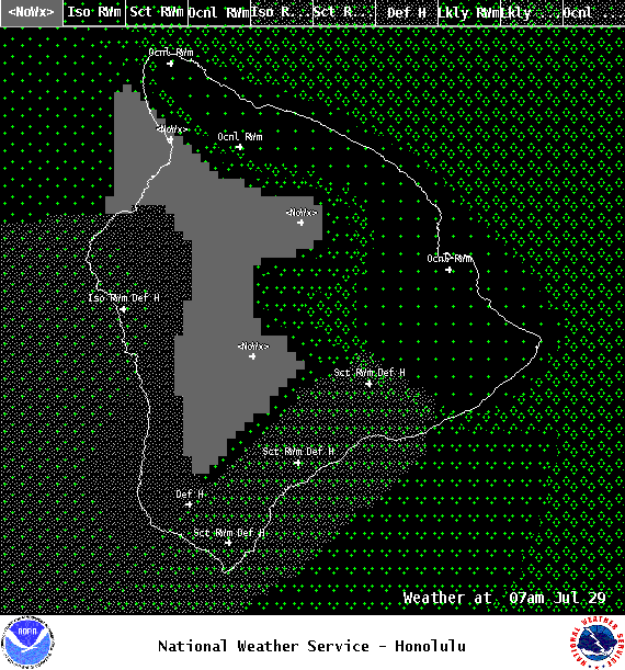
Image: NOAA
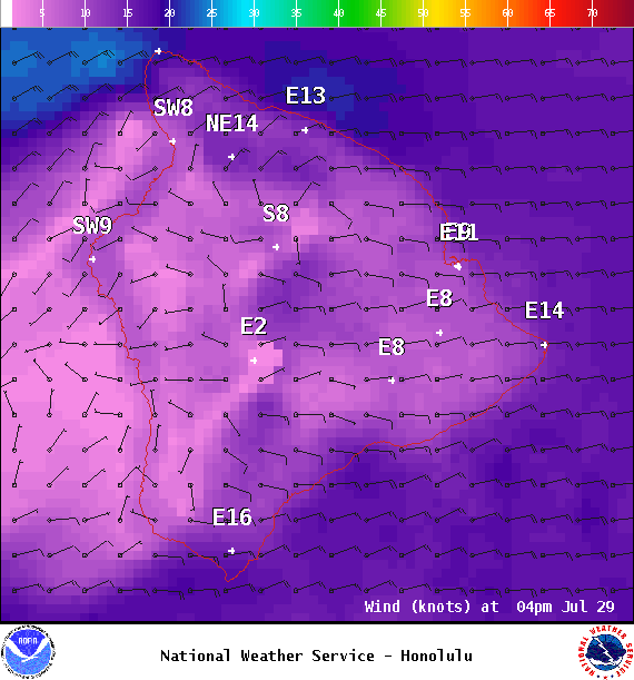
Image: NOAA

Image: NOAA
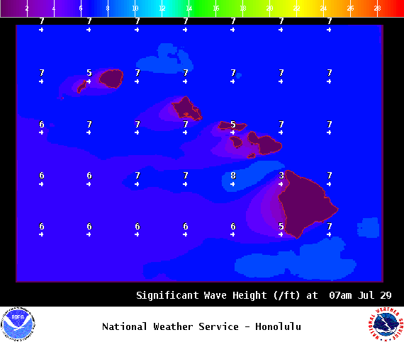
Image: NOAA
Sponsored Content