

Increased Windward Showers This Evening

Image: James Grenz
Alerts (as of 1:00 a.m.)
A Small Craft Advisory is posted through 6 a.m. Tuesday for the Alenuihaha channel and leeward coastal waters.
Check our breaking news section for any urgent weather alerts or updates to the weather alerts listed above.
**Click directly on the images below to make them larger. Charts include: Big Island high/low forecasted temperatures, projected winds, chance of cloud cover, projected localized weather conditions, vog/SO2 forecast and expected wave heights.**
Looking Ahead
Trade winds are expected through the holiday weekend. Passing showers are expected for mainly windward areas and forecast to be light. A disturbance will move in Wednesday and make the atmosphere unstable, so showers may become more active through Thursday. The atmosphere will become more stable and much drier over the weekend, resulting in a decrease in rainfall. Windy weather is expected toward the weekend.
Today
Partly cloudy with scattered showers today for windward spots. Mostly sunny skies in the morning for the Kona side with mostly cloudy skies in the afternoon and isolated showers. Winds are around 15 mph out of the northeast with afternoon sea breeze for the Kona side. High temperatures from 83° to 88°.
UV index at 12 (“extreme” exposure level)
Tonight
Northeast winds tonight from 10 to 15 mph. Numerous showers for windward spots tonight. Skies should clear as the night goes on for lee areas. Low temperatures from 70° to 75°.
Our Big Island Now Weather homepage always includes daily: Sunrise | Sunset | Moonrise | Moonset | Moon Phase | Live Weather Cams | 5-day Forecast | Current Temperature & Conditions
**Click here for your detailed Big Island surf report.**

Image: NOAA / NWS

Image: NOAA / NWS

Image: NOAA / NWS

Image: NOAA / NWS
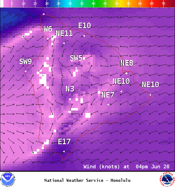
Image: NOAA / NWS
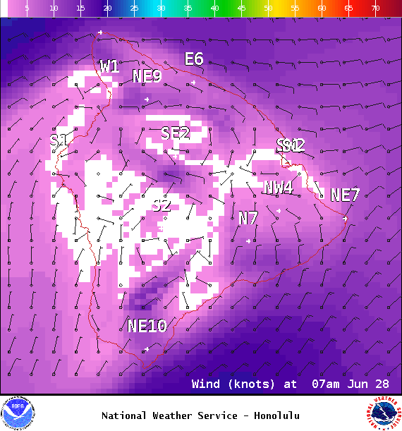
Image: NOAA / NWS
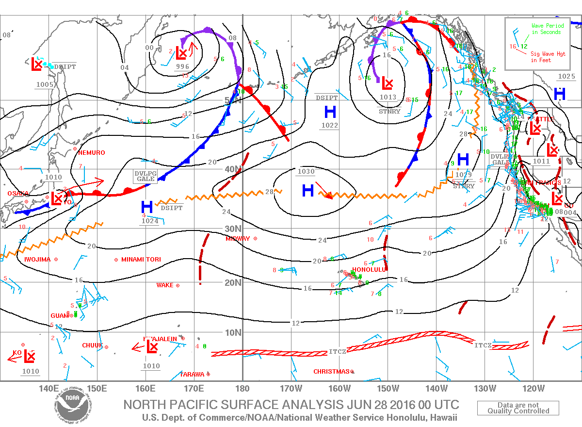
Image: NOAA / NWS
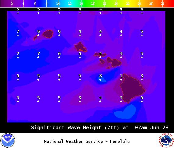
Image: NOAA / NWS
Sponsored Content


