

Front Moving Through, Another on The Way
Alerts
The Small Craft Advisory issued by the National Weather Service has been extended to include all Big Island waters through 6 p.m. Thursday. Northeast winds of 20 to 25 knots are expected along with rough seas of 10 to 15 feet.
**Click directly on the images below to make them larger. Charts include: Big Island high/low forecasted temperatures, projected winds, chance of cloud cover, projected localized weather conditions, vog/SO2 forecast and expected wave heights.**
Today, Thursday December 11, 2014
Windward and mauka areas are forecasted to get partly to mostly cloudy skies. Showers are likely. The Kona side is expected to be mostly clear in the morning with our usual afternoon sea breeze bringing partly cloudy skies and some isolated showers for interior and lee areas. Winds are forecasted out of the east from 15 to 20 mph. The UHSOEST vog model is forecasting less widespread vog today than we’ve seen the last couple of days. High temperatures should fall in the range of 79° to 84° and around 69° at 5000 feet.
Sunrise: 6:45 a.m.
Sunset: 5:43 p.m.
UV index at 7 (“high” exposure level)
Tonight
We expect partly cloudy skies with likely showers for windward and mauka areas tonight. Leeward areas will likely get a land breeze which will help to clear skies of the afternoon and evening clouds as the night goes on. Winds are forecasted out of the east from 15 to 20 mph. Low temperatures are expected in the range of 69° to 74° with a low of about 52° at 5000 feet.
Moonrise: 10:34 p.m.
Moonset: 11:19 a.m. on Dec 12
Next New Moon: Dec. 21 at 3:36 p.m.
Next Full Moon: Jan. 4 at 6:54 p.m.
The Geminid Meteor shower is currently active. Peak nights are Dec. 12-13 and 13-14. Click HERE for viewing tips and details on the shower.
Looking Ahead
A front is bringing some wet weather to windward and mauka areas. Moisture from the front is expected to linger around Hawaii County today and possibly into Friday. Winds have increased overnight and are expected to weaken again on Friday. A second front expected this weekend is forecasted to reach Hawaii County Sunday night and Monday and will bring strong and gusty winds in its wake. We’ll keep tweaking the forecast as it gets closer.
Almanac for Hilo Airport
Maximum Temperature for today:
Normal 80°
Record 88° / Set in 1973
Minimum Temperature for today:
Normal 65°
Record 58° / Set in 1989
**Click here for your detailed Big Island surf report.**

Image: NOAA / NWS

Image: NOAA / NWS

Image: NOAA / NWS

Image: NOAA / NWS
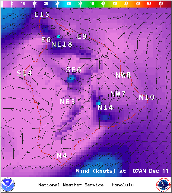
Image: NOAA / NWS
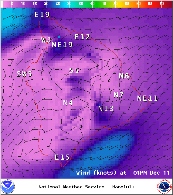
Image: NOAA / NWS
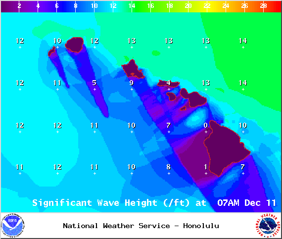
Image: NOAA / NWS
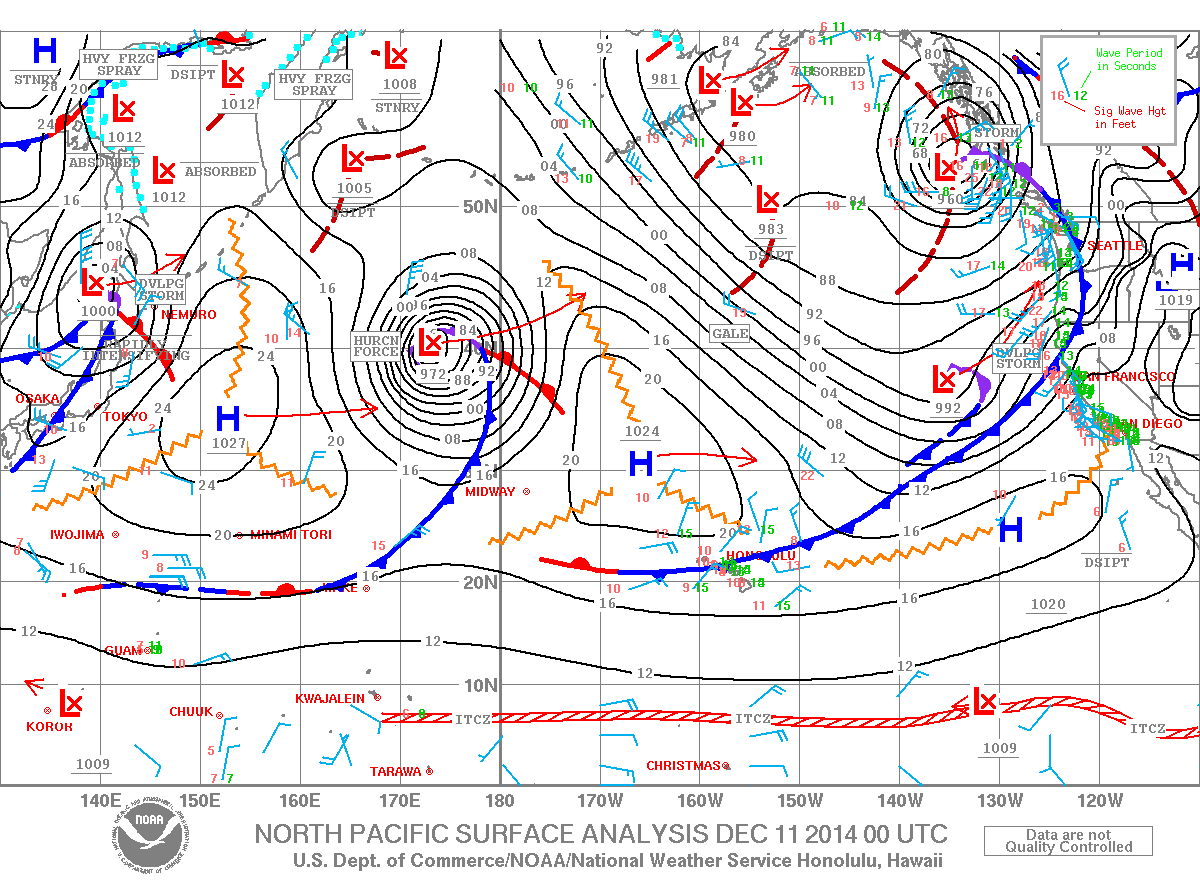
Image: NOAA / NWS

Image: UHSOEST
Sponsored Content


