


Hawaii County Surf Forecast for October 31, 2026
Forecast for Big Island Windward and Southeast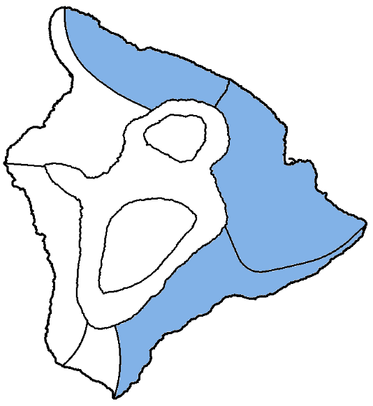
| Shores | Tonight | Saturday | ||
|---|---|---|---|---|
| Surf | Surf | |||
| PM | AM | AM | PM | |
| North Facing | 4-6 | 4-6 | 4-6 | 4-6 |
| East Facing | 4-6 | 4-6 | 4-6 | 4-6 |
| South Facing | 5-7 | 5-7 | 5-7 | 5-7 |
| Weather | Mostly cloudy. Numerous showers. | ||||||
|---|---|---|---|---|---|---|---|
| Low Temperature | In the lower 70s. | ||||||
| Winds | Northeast winds 5 to 10 mph. | ||||||
|
|||||||
| Weather | Mostly cloudy. Scattered showers. | |||||
|---|---|---|---|---|---|---|
| High Temperature | In the lower 80s. | |||||
| Winds | Northeast winds around 5 mph. | |||||
|
||||||
| Sunrise | 6:21 AM HST. | |||||
| Sunset | 5:47 PM HST. | |||||
Forecast for Big Island Leeward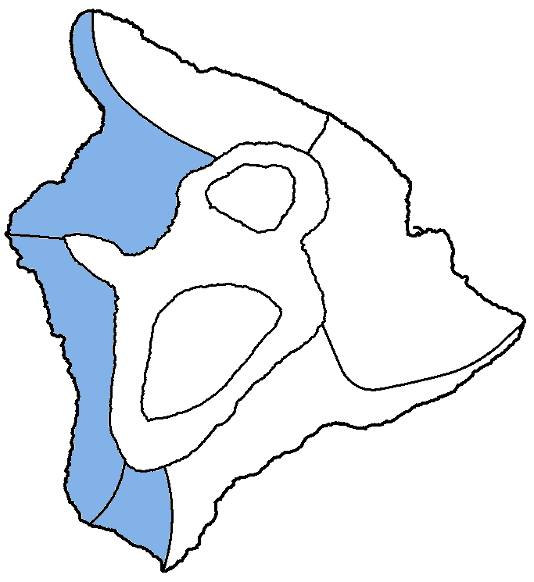
| Shores | Tonight | Saturday | ||
|---|---|---|---|---|
| Surf | Surf | |||
| PM | AM | AM | PM | |
| West Facing | 3-5 | 3-5 | 3-5 | 3-5 |
| South Facing | 5-7 | 5-7 | 5-7 | 5-7 |
| Weather | Partly cloudy. Scattered showers. |
|---|---|
| Low Temperature | In the lower 70s. |
| Winds | West winds around 5 mph early in the afternoon, becoming light and variable. |
| Weather | Partly sunny. Scattered showers. |
|---|---|
| High Temperature | In the upper 80s. |
| Winds | Light and variable winds, becoming west around 5 mph in the afternoon. |
| Sunrise | 6:25 AM HST. |
| Sunset | 5:51 PM HST. |
Swell Summary
The current small, short period north-northeast swell will maintain small surf along north-facing shores into Saturday. A larger, long-period northwest swell is expected to arrive late Saturday and will bring advisory level surf to north and west facing shores exposed to the swell Sunday into Monday.
The current small, medium period south swell will gradually decline through the weekend, falling to below seasonal averages during the first part of the week. East-facing shores will get continue to be boosted due to the wrap from the north and southerly swells. As the larger north swell builds in Sunday night and Monday, the wrap from that will have the potential for advisory level surf.
NORTH EAST
NORTH WEST
WEST
SOUTH EAST
Data Courtesy of NOAA.gov and SwellInfo.com