Saturday: Big Island feeling effects of Tropical Storm Lala; core 140 miles from South Point with 65 mph winds
Kauaʻi and Niʻihau remain under a tropical storm watch as Tropical Storm Lala moved within 140 miles east-southeast from South Point on the Big Island as of the 2 a.m. Saturday advisory by the National Hurricane Center.
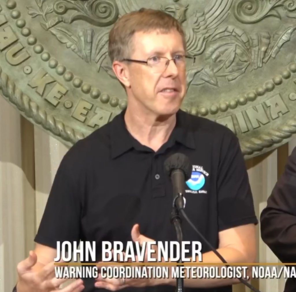
Lala remains at sustained winds of 65 mph, but is still expected to strengthen to a Category 1 hurricane by Saturday afternoon, National Weather Service Warning Coordination Meteorologist John Bravender, who works at the Honolulu forecast office, said during an early evening Friday press briefing at the state Capitol.
A hurricane warning remains in effect for the Big Island as Tropical Storm Lala ferociously spiraled to within 140 miles east-southeast from South Point, with sustained winds holding steady at 65 mph and higher gusts as of the 2 a.m. Saturday advisory from the National Hurricane Center.
The storm is moving west-northwest at 13 mph.
The Big island is under a flood advisory until 5:30 a.m. Saturday. The island also is under a high surf warning and flash flood watch. Storm surge of up to 3 feet also is possible.

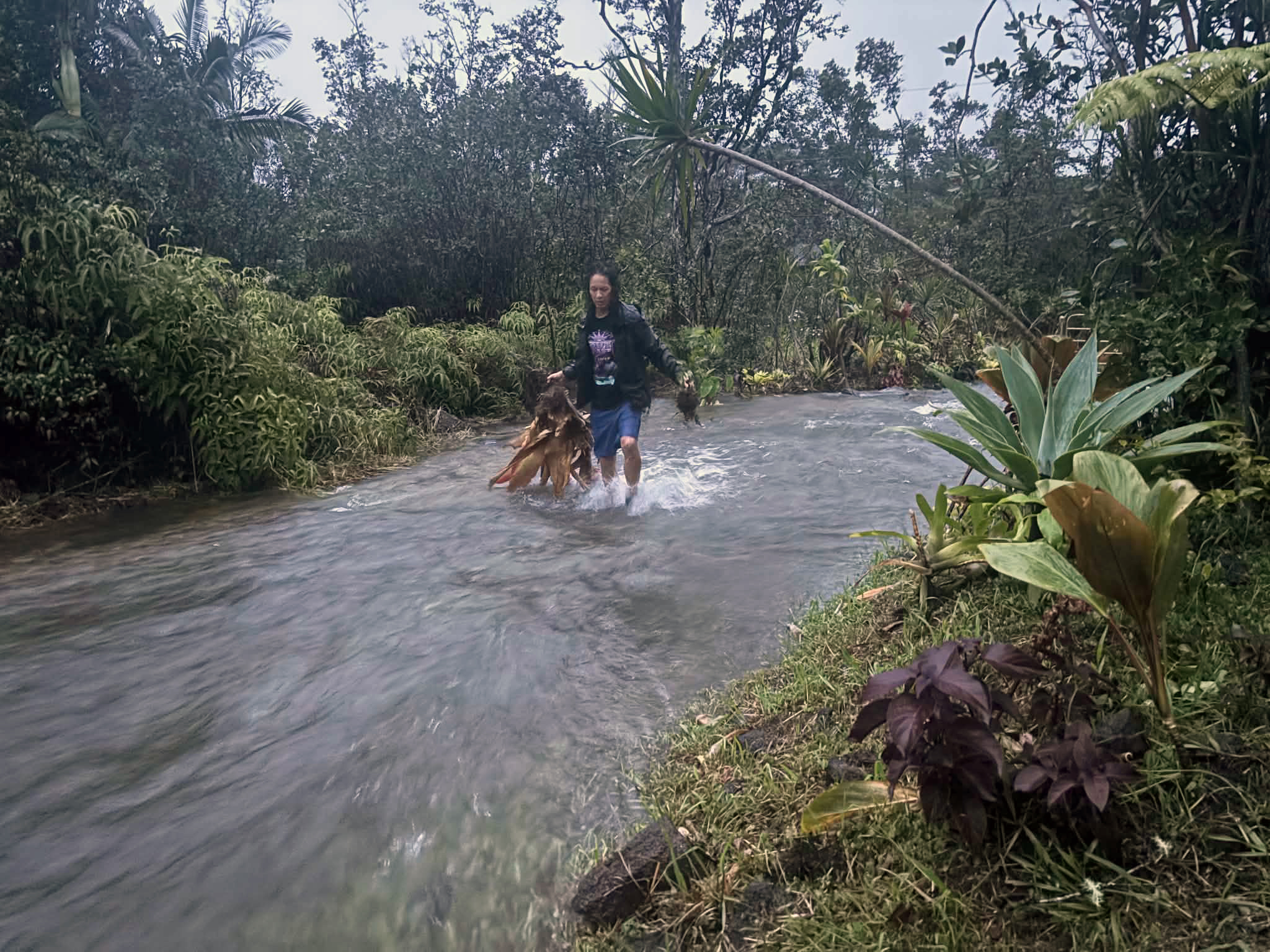
Rain will start falling by mid-morning over the Big Island, becoming heavier and heavier as the storm continues its trek. The island is expected to get up to 20 inches of rain in some locations, as much as 25 in localized areas, on the windward side. No part of the state can absorb that much water that quickly, which means there also will likely be flooding.
Impacts already were being felt by late Friday night in some places on the Big Island. Tropical storm force winds extend outward from Lala’s center up to 220 miles.
Portions of East Hawai‘i inside the northern portion of the storm’s wind field late Friday already were feeling a breezy prequel for the main event still yet to come.
Pu‘uloa Petroglyphs area in Puna and inside Hawai‘i Volcanoes National Park — on the southern flank of Kīlauea volcano — was recording sustained winds of nearly 44 mph, with gusts up to 60 mph, both well within the tropical storm range of between 39 and 73 mph.

Kealakomo Remote Automatic Weather Station also in Puna and the national park, not far from Pu‘uloa, was recording sustained winds of about 24 mph, but gusts of nearly 45 mph, at about the same time.
“One thing to note about this tropical storm is that the wind field is large, especially on the northern side,” Bravender said.
Many people on Hawaiʻi Island remember Hurricane Iselle that struck 12 years ago this month in about the same area Lala now is forecast to be the closest to as it passes to the south or makes landfall.
Iselle was the last time a tropical storm made landfall on the island, and it did so not long after weakening to a tropical storm, with winds of nearly 56 mph.
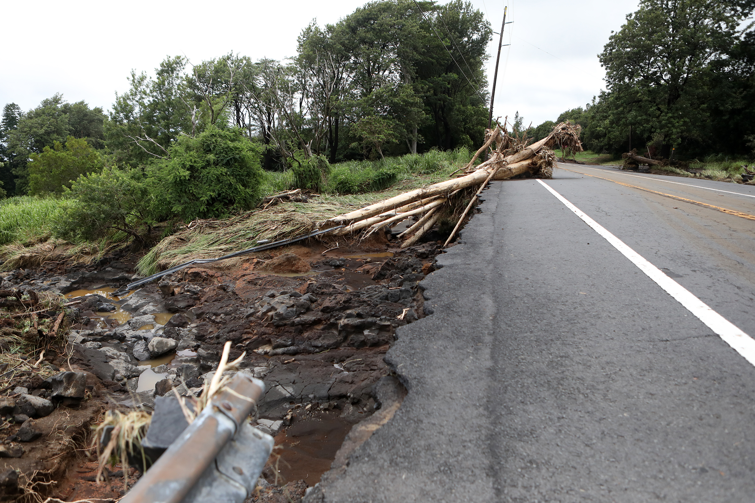
Bravender reminded the public that Iselle caused a lot of damage along the windward side of the island — including storm surge as much as 4 feet in vulnerable coastal areas of Puna such as Vacationland and Kapoho (both destroyed by the 2018 Kīlauea lava flow) as well as downing thousands of trees and snapping utility poles, knocking out power to more than 25,000 Hawaiian Electric customers. The longest outage lasted 5 weeks at a location in a remote wooded area of Puna.
Iselle would move over the southern portion of the island and eventually find its way to Maui, where it did more damage.
Lala’s wind field is much bigger, “so that’s another consideration. Even though the track shows it passing south of the islands, the tropical storm force winds, which can be damaging, will extend north and could impact all the islands,” Bravender warned.
It also is forecast to be a Category 1 hurricane — which is categorized as having winds of 74 to 95 mph and higher gusts. Those stronger, fiercer winds likely will impact some of the same places as Iselle did with lesser wind speeds.

The mountainous terrain of the islands also will likely produce localized areas of highly enhanced and damaging winds, even well away from Lala’s center.
Damaging winds are expected to spread westward to O‘ahu and Kaua‘i later Saturday afternoon and into Sunday. The rain will come before the strongest winds.
Flood watches also are in effect for Maui, Moloka‘i, Lānaʻi and Kaho‘olawe, which runs through late Saturday, and until late Sunday night for O‘ahu, Ni‘ihau and Kaua‘i. These islands are generally expected to get 4 to 8 inches of rain.
Among other hazardous impacts is dangerously large surf increasing from 8 to 12 feet overnight Friday to 15 to 20 feet Saturday along east-facing shores of the Big Island and from 7 to 10 feet to 15 to 20 feet for the same shorelines of Maui, accompanied by powerful currents that will make any ocean recreation life-threatening in waters along the warned coasts.
The storm’s track, for as much uncertainty and delay associated with the system as it formed throughout last week, has put it very consistently near the island. How Lala interacts with the very high terrain of the Big Island is still uncertain.
If the storm jogs farther north and makes landfall, there will be more disruption into the circulation. If Lala jaunts farther south and skirts by the Big Island, it will weaken a little bit but maybe not as much.
“So the expectation is that it’ll be pulled northward a little bit … and continue on that track,” Bravender explained. “How much that goes [is] still up in the air. So the forecast shows our best expectation.”
Don’t focus on Lala’s exact forecast track or intensity now, though. National Weather Service forecasters in Honolulu said be flexible — and prepared for changes.
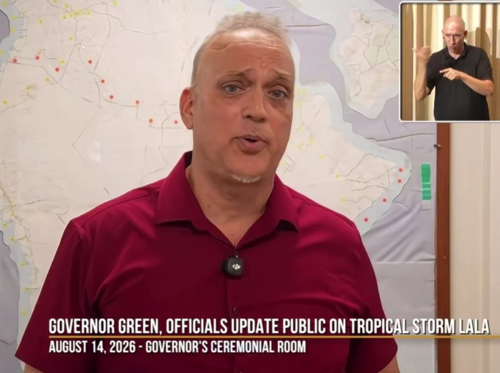
Green said the hope is Lala will be sufficiently far enough south the islands to just get the periphery.
But he said: “We’ve seen storms turn.” Green reminded people about what happened in 1992 with Hurricane Iniki, which followed a southern path around the island chain but then turned back to the north-northeast and slammed into Kaua‘i as a Category 4 storm.
Iniki had winds well stronger than 100 mph, caused $3 billion in damage, destroyed thousands of homes and killed 6 people.
“We just can never know if a storm is going to turn,” Green said. “That’s why we’re trying to be very cautious. The rains and winds will be enough to cause some damage, certainly on Big Island, but if you get a turn of a hurricane like this, it’s even more severe.”
Due to the earlier storms this year, some people on the Big Island have already lost their water sources, with some roofs destabilized. There might even still be large caverns that were formed under places, especially in the southern part of the island.
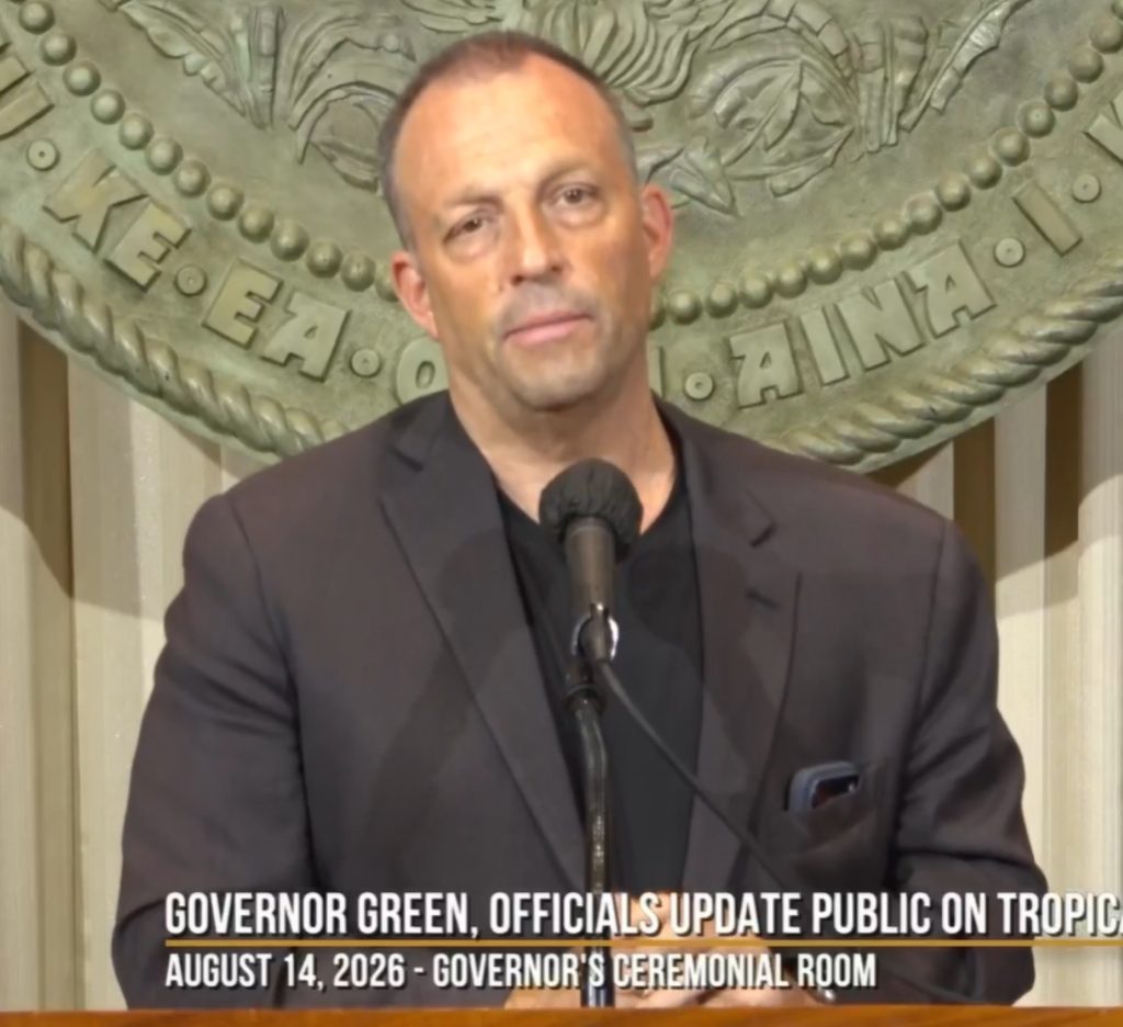
Hawai’i County Mayor Kimo Alameda, who attended the press briefing online, said the island hasn’t had a direct hit from a hurricane since 1871 — 155 years ago.
National Weather Service defines a “direct hit” from a tropical cyclone, such as a hurricane or tropical storm, as a close approach or landfall at a particular location. For locations on the right side of the storm’s track — which is what will happen with Lala and the Big Island — a direct hit happens when the cyclone passes or strikes with a distance equal to twice the radius of maximum wind.
“So, you know, we’re worried,” Green said. “We’re worried about how people will respond.”
Alameda said he also is concerned: “Because it’s not just the rain, you know? It’s the wind and it’s the high surf. And with that, we got potential for traffic issues and mudslides. I mean, you name it. So we’re concerned about all of it. The rain can cause a lot of problems. Then the electrical issues, which then its a domino effect.”
Both men urged residents to hunker down and just stay put once the strongest version of Lala arrives, first on the Big Island and then throughout the rest of the islands. That will be the best option and the most help everyone can offer to the officials and crews who are looking out for everyone.
Visit the National Weather Service Honolulu forecast office website to find storm information specific to your area, such as possible inland advisories, watches and warnings along with being able to monitor your local forecast.