


Magnitude-5.2 quake strikes beneath Kama‘ehuakanaloa seamount east-southeast of Big Island
Kama‘ehuakanaloa seamount — located underwater and 26 miles south-southeast of Nāʻālehu on the Big Island, formerly known as Lō‘ihi — was rocked by a magnitude-5.2 earthquake shortly before 6 p.m. Aug. 11 at a depth of 7 miles below sea level.
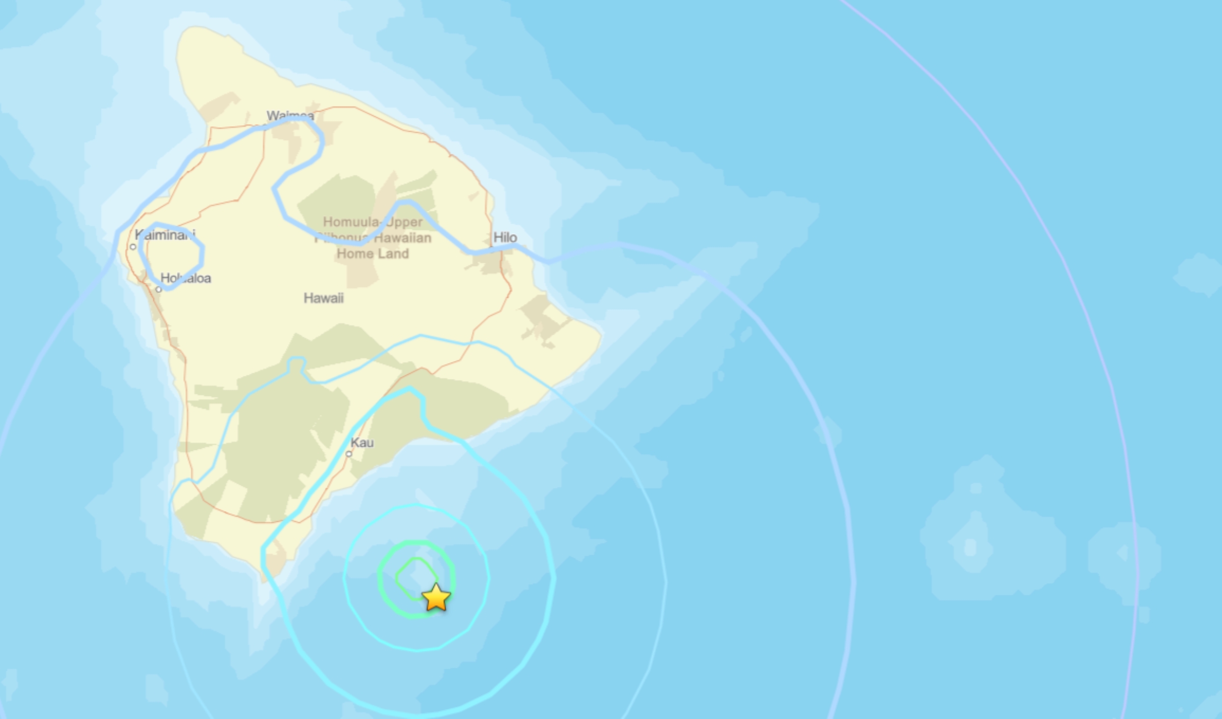
Hawaiian Volcano Observatory reported that the quake was part of an ongoing sequence of temblors associated with unrest that started Aug. 9 at the seamount. The quakes have no apparent impact on either Mauna Loa or Kīlauea volcanoes.
More than 48 “Felt Reports” were made within the first hour after the quake, mostly from throughout the southern and eastern parts of the Big Island.
No damage to buildings or infrastructure is expected based on the earthquake intensity, which was only light shaking based on community and instrument reports.
Aftershocks are possible in the coming days to weeks
Intermittent earthquake activity has been recorded in the vicinity of Kama‘ehuakanaloa since as early as 1952.
The most energetic earthquake sequence occurred from July to August 1996, which included more than 4,000 earthquakes with nearly 300 events larger than magnitude-3.0 and 95 events in the magnitude-4.0 to magnitude-4.9 range.
More recently, a swarm of 100 earthquakes occurred May 11, 2020, with 18 events in the magnitude-3.0 to magnitude-3.9 range.
There are no working monitoring instruments on Kama‘ehuakanaloa, which has a peak about 3,280 feet below sea level. All real-time information about the volcano is derived from land-based seismometers on the island.
Hawaiian Volcano Observatory continues to monitor Hawaiian volcanoes for any changes.






