

Magnitude-4.2 quake strikes southern portion of Big Island
Did you feel it?
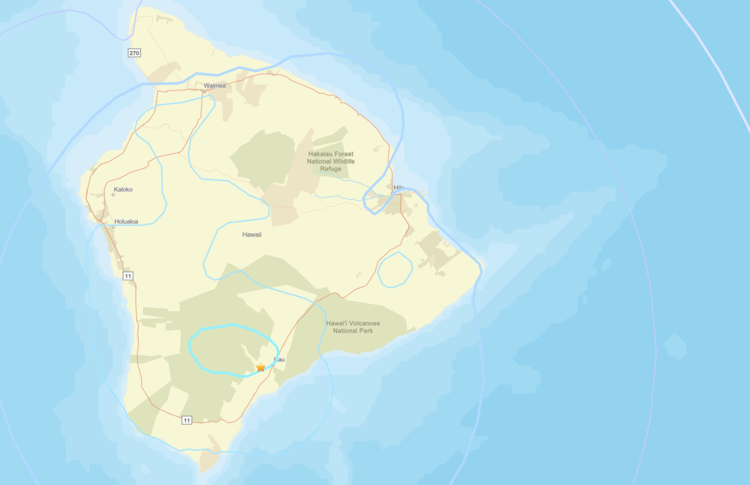
A magnitude-4.2 earthquake at just after 11:30 p.m. Monday (Jan. 26) struck about a mile northwest of Pāhala in the Kaʻū District of Hawaiʻi Island at a depth of 21 miles below sea level.
Hawaiian Volcano Observatory reported the earthquake was part of an ongoing deep swarm beneath Pāhala that began about 7 years ago and is not directly related to volcanic activity.
The quake also had no apparent impact on the paused episodic eruption of Kīlauea volcano — within Halemaʻumaʻu Crater inside the volcano’s caldera — or elsewhere on Mauna Loa and Kīlauea volcanoes.
Aftershocks are possible in the coming days to weeks.
Light shaking was reported by the public and instruments; however, no damage to buildings or infrastructure was expected based on the earthquake’s intensity.
More than 320 “Felt Reports” were made within the first 45 minutes after the temblor, with it being felt widely around the Big Island.
Hawaiian Volcano Observatory continues to monitor Hawaiian volcanoes for any changes.
Visit the U.S. Geological Survey National Earthquake Information Center website and the Hawaiian Volcano Observatory Interactive Earthquake Map of Hawaiʻi for additional information about the temblor.
Email questions to askHVO@usgs.gov.
Sponsored Content


