

October 07, 2018 Surf Forecast
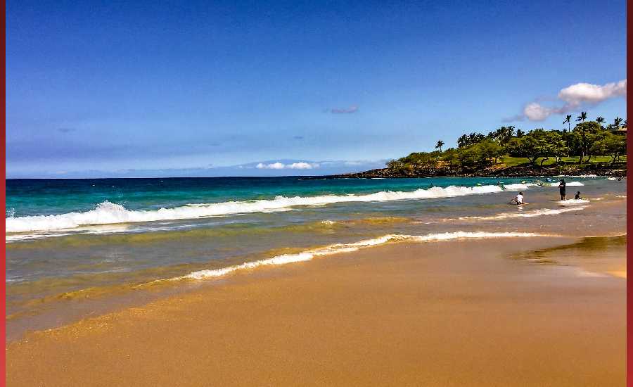
Photo: James Grenz
Swell Summary
Outlook through Sunday October 14: A reinforcing northwest swell is expected to fill in by Tuesday and hold through midweek, which will continue to generate moderate surf along north and west facing shores. Typhoon Kong-rey currently located near Japan is expected to track east across the pacific over the next few days and potentially bring another small to moderate west northwest swell later in the week. Small south and southwest swells will provide small to moderate surf throughout the week. A more notable southwest swell is expected around midweek. Surf will gradually rise along east facing shores through the first half of the week due to swells from Hurricane Sergio in the eastern Pacific.
Surf heights are forecast heights of the face, or front, of waves. The surf forecast is based on the significant wave height, the average height of the one third largest waves, at the locations of the largest breakers. Some waves may be more than twice as high as the significant wave height. Expect to encounter rip currents in or near any surf zone.
North East
am ![]()
![]() pm
pm ![]()
![]()
Surf: Stomach to shoulder high E ground swell for the morning. This rotates more from the ENE during the afternoon.
Conditions: Sideshore texture/chop with SE winds 10-15mph in the morning shifting SSE 15-20mph in the afternoon.
North West
am ![]()
![]() pm
pm ![]()
![]()
Surf: Knee high WNW ground swell with occasional thigh high sets.
Conditions: Semi glassy/semi bumpy with NNE winds less than 5mph in the morning shifting NNW 5-10mph in the afternoon.
West
am ![]()
![]() pm
pm ![]()
![]()
Surf: Waist high WNW ground swell for the morning with occasional stomach sets. This rotates more SW and builds in the afternoon with sets up to shoulder high.
Conditions: Semi glassy in the morning with N winds less than 5mph. Choppy/disorganized conditions for the afternoon with the winds shifting NW 10-15mph.
South East
am ![]()
![]() pm
pm ![]()
![]()
Surf: Stomach to shoulder high E ground swell.
Conditions: Bumpy/semi bumpy in the morning with E winds 5-10mph. This becomes Semi glassy/semi bumpy for the afternoon.

Image: NOAA

Image: NOAA

Image: NOAA
Image: NOAA

Image: NOAA

Image: NOAA
**Click directly on the images below to make them larger. Charts include: Hawaii County projected winds, tides, swell direction & period and expected wave heights.**
Data Courtesy of NOAA.gov and SwellInfo.com
Sponsored Content


