

October 02, 2018 Surf Forecast
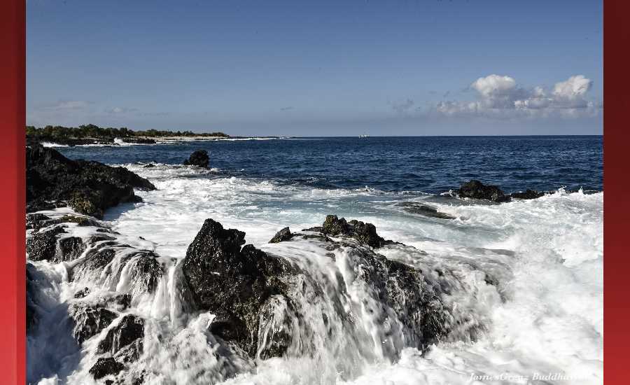
Photo: James Grenz
Swell Summary
Outlook through Tuesday October 09: The long-period northwest swell will build throughout the morning today and is expected to peak this afternoon. This swell will gradually diminish tonight through Thursday. A new south-southwest swell will be filling in today and is expected to produce moderate surf along south facing shores Wednesday. Starting Wednesday or Thursday, swells from major Hurricane Walaka will likely produce significant southwest and west swells that may affect south and west facing shores with advisory level surf starting Thursday, and potentially reaching warning level in some areas.
Surf heights are forecast heights of the face, or front, of waves. The surf forecast is based on the significant wave height, the average height of the one third largest waves, at the locations of the largest breakers. Some waves may be more than twice as high as the significant wave height. Expect to encounter rip currents in or near any surf zone.
North East
am ![]()
![]() pm
pm ![]()
![]()
Surf: Waist to chest high E ground swell for the morning going more NNW and building into the chest to shoulder range in the afternoon.
Conditions: Sideshore texture/chop with SSE winds 10-15mph in the morning shifting SE 15-20mph in the afternoon.
North West
am ![]()
![]() pm
pm ![]()
![]()
Surf: Knee high SSW long period swell.
Conditions: Semi choppy with NNE winds 5-10mph in the morning shifting WNW for the afternoon.
West
am ![]()
![]() pm
pm ![]()
![]()
Surf: Stomach to shoulder high SSW long period swell.
Conditions: Light sideshore texture in the morning with NNW winds 5-10mph. Bumpy/semi bumpy conditions for the afternoon with the winds shifting to the WNW.
South East
am ![]()
![]() pm
pm ![]()
![]()
Surf: Stomach to shoulder high SSW long period swell.
Conditions: Semi choppy with ENE winds 5-10mph.

Image: NOAA

Image: NOAA

Image: NOAA
Image: NOAA

Image: NOAA

Image: NOAA
**Click directly on the images below to make them larger. Charts include: Hawaii County projected winds, tides, swell direction & period and expected wave heights.**
Data Courtesy of NOAA.gov and SwellInfo.com
Sponsored Content


