

September 07, 2018 Surf Forecast
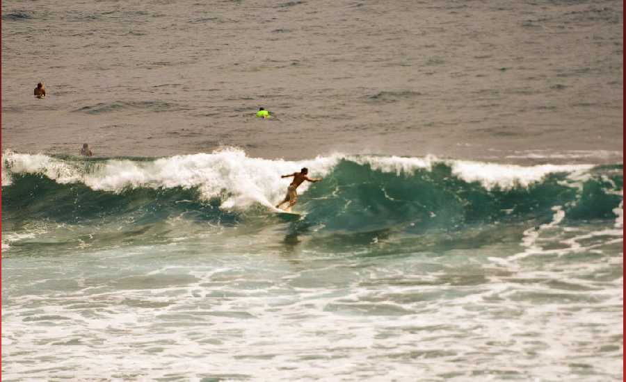
Photo: James Grenz
Swell Summary
Outlook through Friday September 14: A large east swell generated by Hurricane Norman will gradually decline and shift out of the northeast tonight and Saturday. Another east swell from Hurricane Olivia arrive on Sunday and build through early next week, possibly bringing warning level surf by mid week. Otherwise, small south and southwest swells will maintain small background surf along south facing shores through early next week.
Surf heights are forecast heights of the face, or front, of waves. The surf forecast is based on the significant wave height, the average height of the one third largest waves, at the locations of the largest breakers. Some waves may be more than twice as high as the significant wave height. Expect to encounter rip currents in or near any surf zone.
North East
am ![]()
![]() pm
pm ![]()
![]()
Surf: 1-3′ overhead high NE medium period swell.
Conditions: Sideshore texture/chop with NW winds 10-15mph in the morning shifting NNW for the afternoon.
North West
am ![]()
![]() pm
pm ![]()
![]()
Surf: Ankle to knee high SW ground swell.
Conditions: Light sideshore texture in the morning with SW winds 5-10mph. Semi choppy conditions for the afternoon with the winds shifting WSW 10-15mph.
West
am ![]()
![]() pm
pm ![]()
![]()
Surf: Knee high S medium period swell with occasional thigh high sets.
Conditions: Semi glassy/semi bumpy in the morning with S winds less than 5mph. Bumpy/semi bumpy conditions for the afternoon with the winds shifting SSW 5-10mph. Glassy conditions are expected for the late day with W winds less than 5mph.
South East
am ![]()
![]() pm
pm ![]()
![]()
Surf: Chest to shoulder high ENE medium period swell for the morning. This fades in the afternoon with sets up to shoulder high.
Conditions: Fairly clean with N winds 5-10mph in the morning increasing to 10-15mph in the afternoon.

Image: NOAA

Image: NOAA

Image: NOAA
Image: NOAA

Image: NOAA
**Click directly on the images below to make them larger. Charts include: Hawaii County projected winds, tides, swell direction & period and expected wave heights.**
Data Courtesy of NOAA.gov and SwellInfo.com
Sponsored Content


