East Rift Zone Photos, June 21
The U.S. Geological Survey released these photos of the East Rift Zone on Thursday, June 21, 2018.
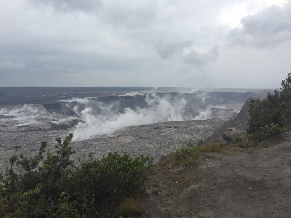
The USGS UAS (unoccupied aircraft system) team took this photograph of Halema‘uma‘u Crater from the Kīlauea Overlook on Thursday, June 21.
USGS is preparing for a flight to map further subsidence at the summit.
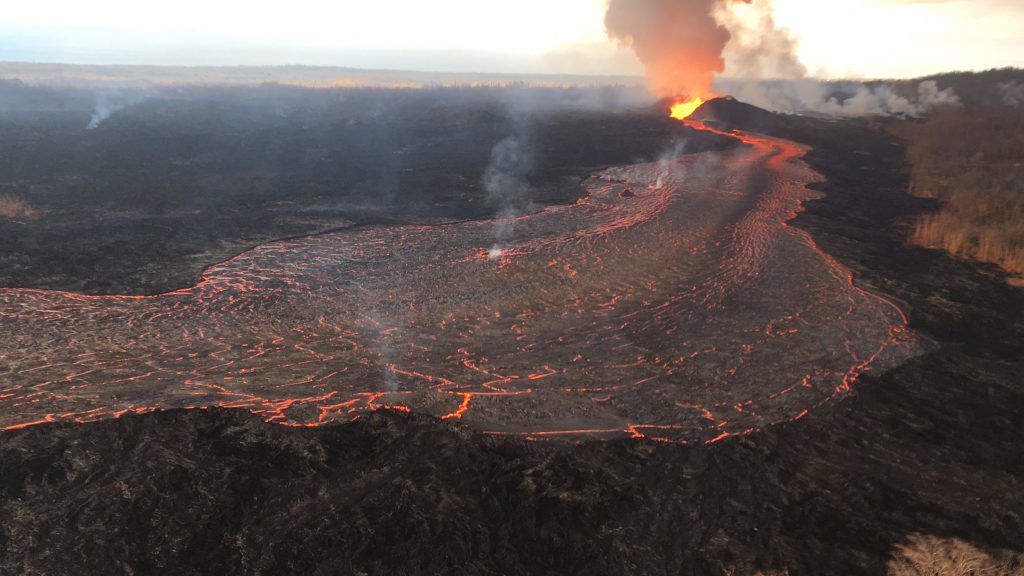
Fissure 8 continues building a tephra cone and producing a robust channelized lava flow on Kīlauea Volcano’s Lower East Rift Zone.
At a wide point in the channelized lava flow, a ropy crust has formed over the more fluid lava below.
Photo taken during early morning overflight.
ADVERTISEMENT
ad_queue.push(“14||28||49”);
ad_queue.push(“14||28||50”);
ad_queue.push(“14||28||75”);
var mobile_text_ad_hide = function(){ if(jQuery(window).width() > 600) { jQuery(“.mobile_text_ads”).hide(); } }; jquery_queue.push(“mobile_text_ad_hide();”);
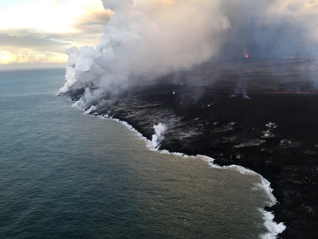
Early morning view of the ocean entry.
ADVERTISEMENT
ad_queue.push(“14||28||49”);
ad_queue.push(“14||28||50”);
ad_queue.push(“14||28||75”);
var mobile_text_ad_hide = function(){ if(jQuery(window).width() > 600) { jQuery(“.mobile_text_ads”).hide(); } }; jquery_queue.push(“mobile_text_ad_hide();”);
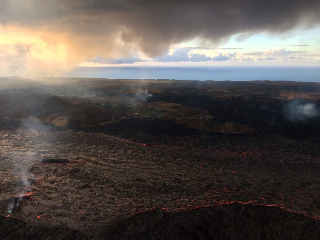
The open lava flow channel is visible just beyond the solidified darker flows in the foreground.


