

July 16, 2018 Surf Forecast
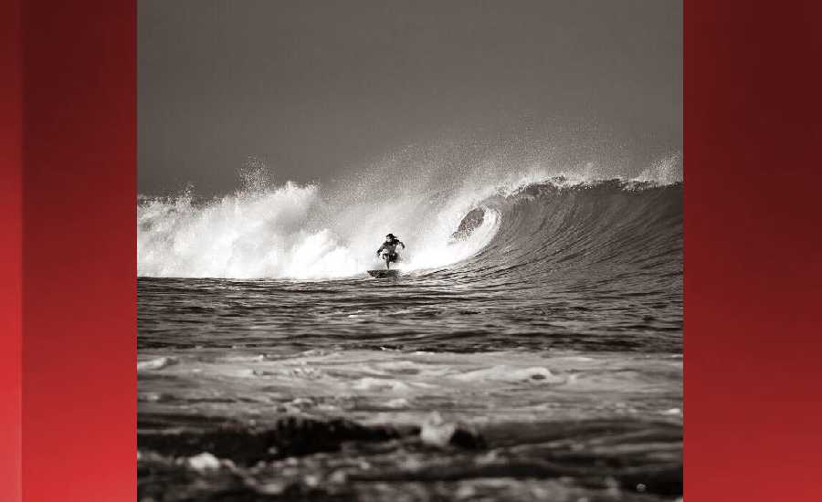
Photo: James Grenz
Swell Summary
Outlook through Monday July 23: Fresh to locally strong trade winds will continue to produce rough and choppy surf along east facing shores for the next few days. A boost in the trades will come around Wednesday as a low pressure area passes to the south of the islands. This will cause a bump up in the surf along the east facing shores to near advisory level. A long period southwest swell will diminish slowly through tonight. The next significant bump- up from the south is slated for Wednesday night, with a 2 foot 18 second period swell. A slightly longer period 2 foot south swell is due in over the upcoming weekend, resulting in near advisory level surf for the south facing shores.
Surf heights are forecast heights of the face, or front, of waves. The surf forecast is based on the significant wave height, the average height of the one third largest waves, at the locations of the largest breakers. Some waves may be more than twice as high as the significant wave height. Expect to encounter rip currents in or near any surf zone.
North East
am ![]()
![]() pm
pm ![]()
![]()
Surf: Stomach to shoulder high ESE wind swell for the morning going more E during the day.
Conditions: Sideshore texture/chop with SE winds 10-15mph in the morning shifting ESE for the afternoon.
North West
am ![]()
![]() pm
pm ![]()
![]()
Surf: Ankle to knee high SW ground swell in the morning builds for the afternoon with occasional sets up to thigh high.
Conditions: Glassy in the morning with WNW winds less than 5mph. Sideshore texture/chop conditions for the afternoon with the winds shifting SW 10-15mph.
West
am ![]()
![]() pm
pm ![]()
![]()
Surf: Knee to waist high SW ground swell with occasional stomach high sets.
Conditions: Glassy in the morning with ESE winds less than 5mph. Semi glassy/semi bumpy conditions for the afternoon with the winds shifting WSW 5-10mph.
South East
am ![]()
![]() pm
pm ![]()
![]()
Surf: Stomach to shoulder high E wind swell.
Conditions: Fairly clean in the morning with N winds 5-10mph. Sideshore texture/chop conditions for the afternoon with the winds shifting NNE 10-15mph.

Image: NOAA

Image: NOAA
Image: NOAA

Image: NOAA

Image: NOAA
**Click directly on the images below to make them larger. Charts include: Hawaii County projected winds, tides, swell direction & period and expected wave heights.**
Data Courtesy of NOAA.gov and SwellInfo.com
Sponsored Content


