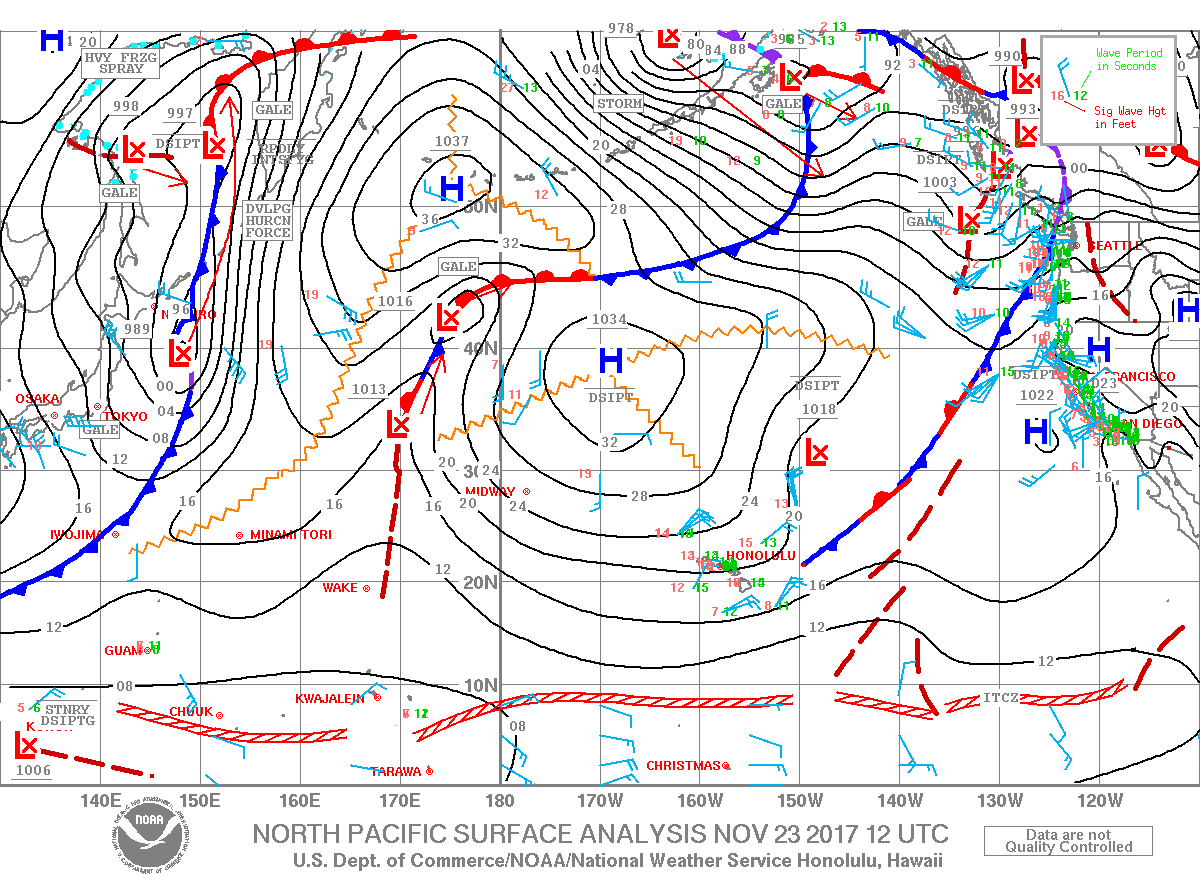
Warning Level Waves Continue for Big Island
Marine Alerts (as of 1:00 a.m.)
High Surf Warning: North and east facing shores of Big Island through 6 a.m. Friday.
Small Craft Advisory: Through 6 a.m. Saturday for building seas and northeast winds up to 30 knots.
Marine Weather Statement: A large long-period north swell is impacting the island chain. This well could produce surges in north facing harbors like Hilo and could produce large breaking waves near channel and harbor entrances. Mariners are asked to exercise extreme caution.
**Click directly on the images below to make them larger. Charts include: Big Island projected winds, tides, swell direction & period and expected wave heights.**
Big Island Surf Forecast
Hilo: Wave heights are expected to be double overhead to triple overhead today.
Kona: Wave heights are expected to be knee/waist high today. Wrap from the north swell could bring chest/head high to overhead waves to spots open to this energy (spots north of Kalaoa).
South: Wave heights are expected to be knee/waist high today.
A high surf warning is in effect for north and east facing shores of all exposed islands. This swell is bringing very large waves and wind waves due to near gale force winds. This swell is forecast to peak into Thanksgiving day and ease Thursday night and Friday.
A new north swell is forecast to fill in Sunday and peak Monday. Another northwest swell and north swell are forecast to arrive Wednesday.
Small southerly swells will continue with small background swell for south facing shores.
Keep in mind, surf heights are measured on the face of the wave from trough to crest. Heights vary from beach to beach, and at the same beach, from break to break.
Sponsored Content
Comments


