

Stable Conditions Expected Today

Image: James Grenz
Alerts (as of 1:00 a.m.)
Small Craft Advisory: Through 6 p.m. Thursday for 15 to 25 knot winds with gusts up to 30 knots.
**Click directly on the images below to make them larger. Charts include: Big Island high/low forecasted temperatures, projected winds, chance of cloud cover, projected localized weather conditions, vog/SO2 forecast and expected wave heights.**
Looking Ahead
Moderate to breezy trade winds are forecast through the middle of next week. Windward and mauka showers are forecasted mainly in the morning and overnight hours. Showers could become more active over the weekend and into next week as a disturbance makes conditions unstable.
Today
We expect northeast winds from 15 mph with higher gusts. Partly cloudy skies are forecast with a chance of daytime windward showers. Morning sunshine for leeward spots with a slight chance of showers in the afternoon. Some areas of haze as well. Temperatures up to 81° to 86°.
UV index at 7 (“high” exposure level)
Tonight
Partly to mostly cloudy skies with scattered windward showers. Clear skies for leeward spots. Low temperatures from 69° to 74°. Winds are expected to be trade winds around 15 mph.
Our Big Island Now Weather homepage always includes daily: Sunrise | Sunset | Moonrise | Moonset | Moon Phase | Live Weather Cams | 5-day Forecast | Current Temperature & Conditions
**Click here for your detailed Big Island surf report.**
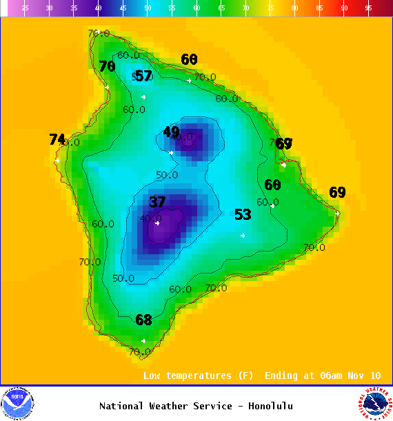
Image: NOAA
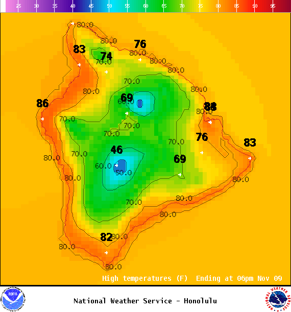
Image: NOAA
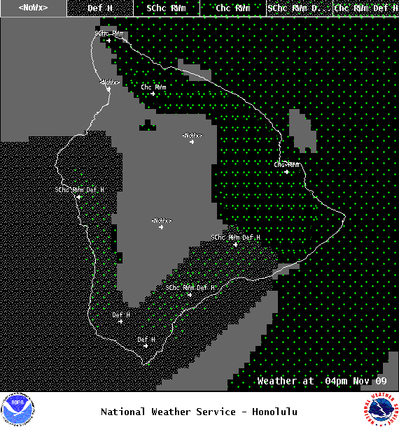
Image: NOAA
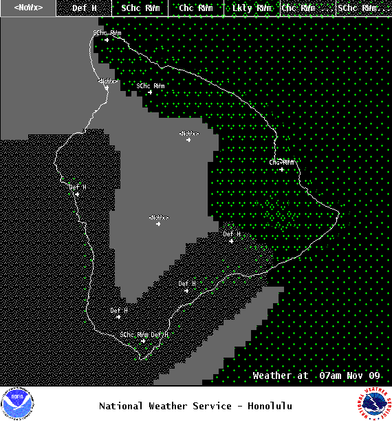
Image: NOAA
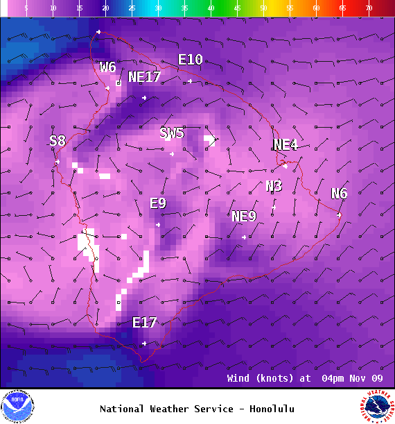
Image: NOAA

Image: NOAA
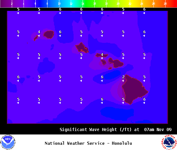
Image: NOAA

Image: NOAA
Sponsored Content


