Trade Swell up to Head High for Hilo Side
Alerts (as of 1:00 a.m.)
Small Craft Advisory: East winds up to 25 knots through 6:00 a.m. Thursday.
**Click directly on the images below to make them larger. Charts include: Big Island projected winds, tides, swell direction & period and expected wave heights.**
Big Island Surf Forecast
Hilo side: Surf heights are expected to be waist/head high today.
Kona side: Wave heights are expected to be ankle/knee high today. Many spots will be flat.
South: Wave heights are expected to be knee/thigh high today. Many spots will be flat.
South-southwest swell is fading further and southeast swell will linger but drop off by midweek. A new run of southwest swell is forecast to move in from the 28th to the 3rd. With a fun swell expected from August 5th to 7th as well.
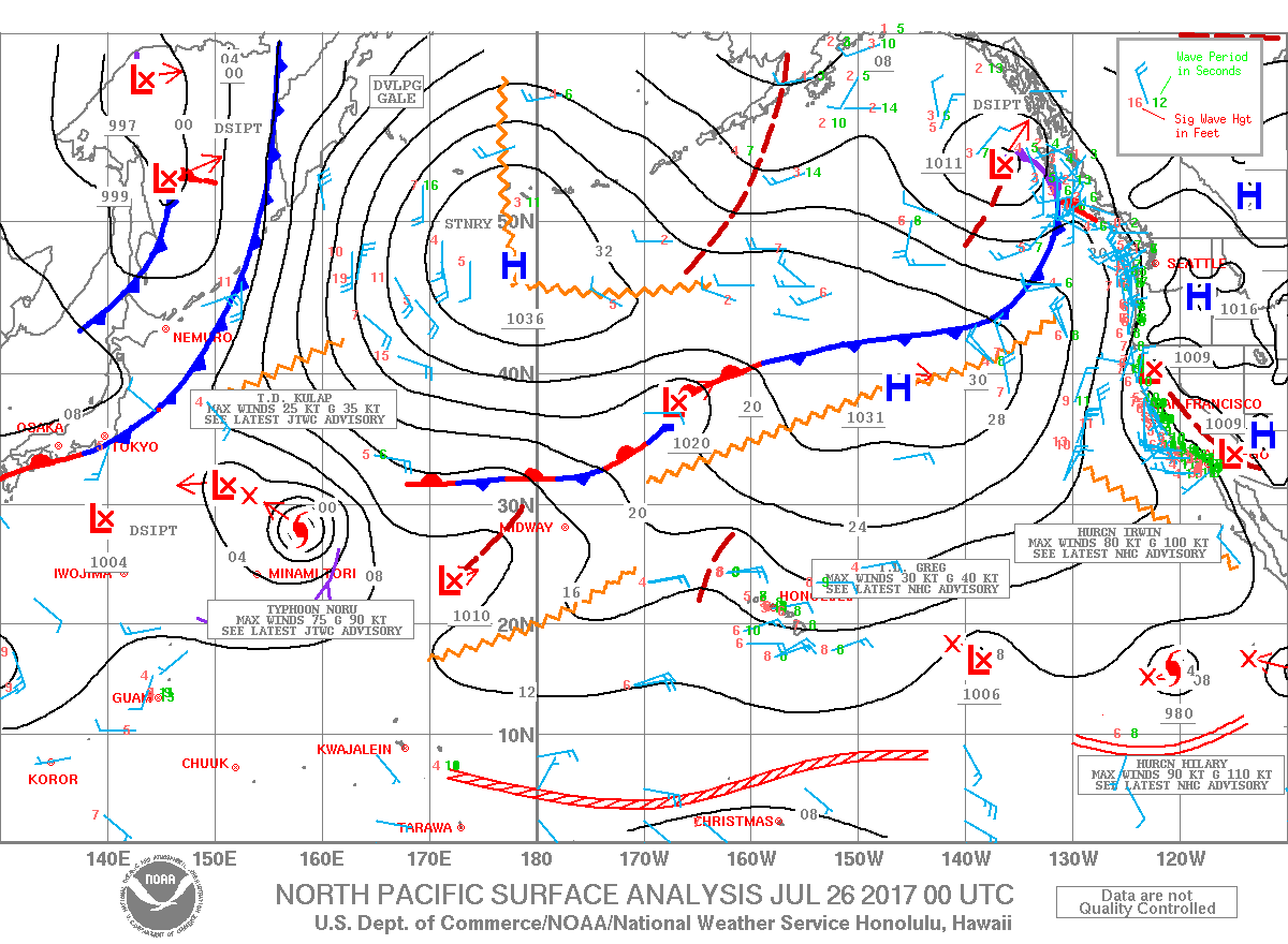
Trade swell is back up as trade winds have strengthened. This energy eases Thursday / Friday.
Keep in mind, surf heights are measured on the face of the wave from trough to crest. Heights vary from beach to beach, and at the same beach, from break to break.
Sponsored Content
Comments


