

Tropical Swell Lingers, Trade Swell Picking Back up
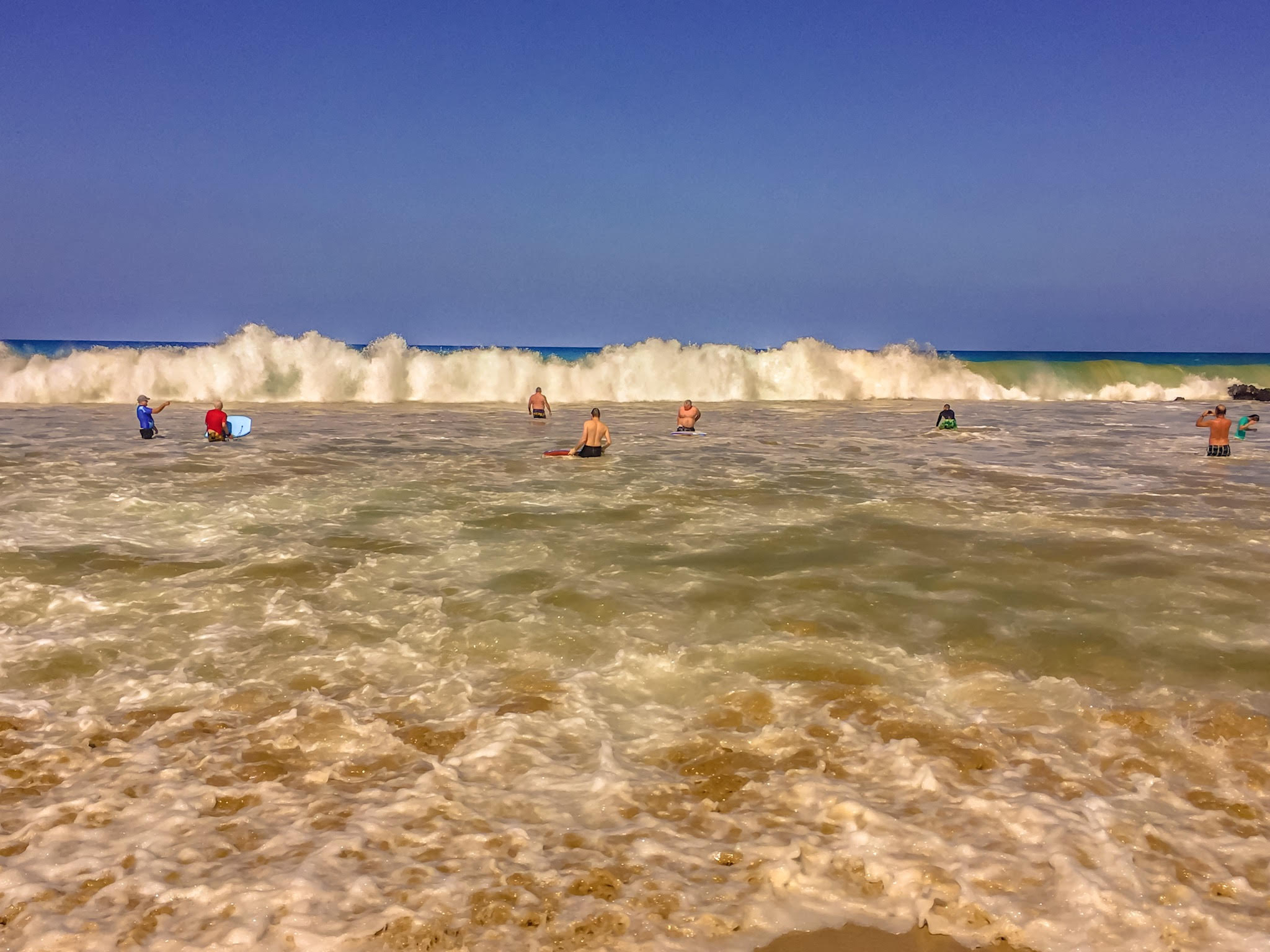
Image: James Grenz
Alerts (as of 1:00 a.m.)
Small Craft Advisory: East winds up to 25 knots through 6:00 a.m. Thursday.
**Click directly on the images below to make them larger. Charts include: Big Island projected winds, tides, swell direction & period and expected wave heights.**
Big Island Surf Forecast
Hilo side: Surf heights are expected to be waist/shoulder high today.
Kona side: Wave heights are expected to be ankle/knee high today.
South: Wave heights are expected to be knee/thigh high today. Spots catching the southeast could get up to tummy/chest high on the sets.
No significant swells are expected this week from the South Pacific. South-southwest swell is fading further and southeast swell will linger but drop off by midweek.
An east swell generated when Fernanda was a major hurricane will continues to linger. Trade swell also will pick back up as trade winds strengthen.
Keep in mind, surf heights are measured on the face of the wave from trough to crest. Heights vary from beach to beach, and at the same beach, from break to break.
**Click here for your detailed Big Island weather report.**

Image: NOAA

Image: NOAA

Image: NOAA

Image: NOAA

Image: NOAA
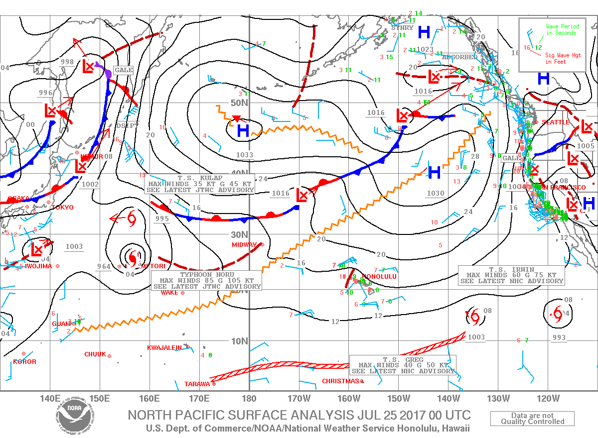
Image: NOAA
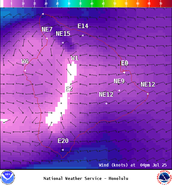
Image: NOAA

Image: NOAA
Sponsored Content


