

Memorial Day Weekend Weather Forecast

Image; Chris Archer
Alerts (as of 1:00 a.m.)
Special Weather Statement: Coastal flooding is anticipated the Memorial Day weekend along all shores of the Hawaiian Islands due to record level spring (king) tides. Impacts include beach flooding, standing water on roadways and low-lying areas near the coast. A large summer south swell is also expected to exacerbate the problem leading to additional beach run up, flooding and erosion.
High Surf Advisory: South facing shores through 6 a.m. Sunday.
**Click directly on the images below to make them larger. Charts include: Big Island high/low forecasted temperatures, projected winds, chance of cloud cover, projected localized weather conditions, vog/SO2 forecast and expected wave heights.**
Looking Ahead
Winds are light and variable through the Memorial Day weekend. This means more widespread afternoon sea breezes with clouds and showers for interior and leeward areas during the day and land breezes at night. An upper level feature passing the state could enhance some of those afternoon showers.
Today & Sunday
We expect variable winds from 5 to 15 mph. High temperatures are forecast from 80° to 85°. Mostly sunny skies in the morning with building clouds in the afternoon and scattered showers.
UV index at 11 (“extreme” exposure level)
Tonight & Sunday Night
Variable winds are forecast around 5 to 15 mph. Mostly cloudy skies with scattered showers for windward spots overnight and clearing as the night goes on. Low temperatures from 68° to 73°.
Our Big Island Now Weather homepage always includes daily: Sunrise | Sunset | Moonrise | Moonset | Moon Phase | Live Weather Cams | 5-day Forecast | Current Temperature & Conditions
**Click here for your detailed Big Island surf report.**

Image: NOAA

Image: NOAA

Image: NOAA

Image: NOAA

Image: NOAA

Image: NOAA

Image: NOAA
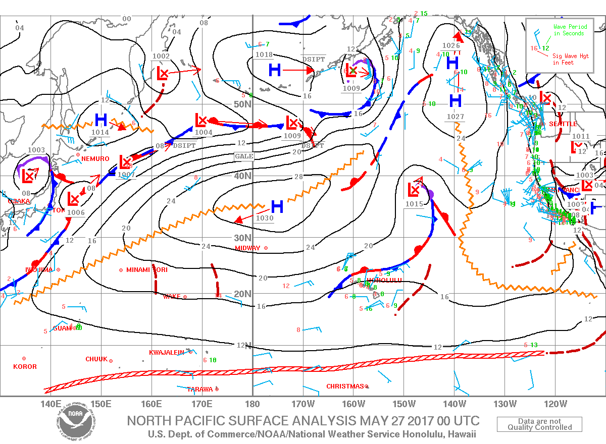
Image: NOAA
Sponsored Content


