

Breezy Trade Winds Work Their Way Back Into Forecast

Image: James Grenz
Alerts (as of 1:00 a.m.)
Small Craft Advisory: Hawaii County leeward coastal waters and the Alenuihaha Channel through 6 p.m. Friday.
**Click directly on the images below to make them larger. Charts include: Big Island high/low forecasted temperatures, projected winds, chance of cloud cover, projected localized weather conditions, vog/SO2 forecast and expected wave heights.**
Looking Ahead
Breezy trade winds are forecast through Saturday with more typical windward and mauka showers. Sunday winds are expected to diminish a bit. Early next week we expect conditions to become less stable.
Today
We expect northeast winds today around 15 to 25 mph. High temperatures are forecast from 81° to 86°. Partly sunny skies with scattered windward showers and isolated afternoon leeward showers.
UV index at 12 (“extreme” exposure level)
Tonight
Northeast winds are forecast around 15 to 25 mph. Mostly cloudy skies with scattered windward showers and clearing for the Kona side. Low temperatures from 70° to 75°.
Our Big Island Now Weather homepage always includes daily: Sunrise | Sunset | Moonrise | Moonset | Moon Phase | Live Weather Cams | 5-day Forecast | Current Temperature & Conditions
**Click here for your detailed Big Island surf report.**

Image: NOAA

Image: NOAA

Image: NOAA

Image: NOAA
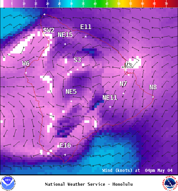
Image: NOAA

Image: NOAA
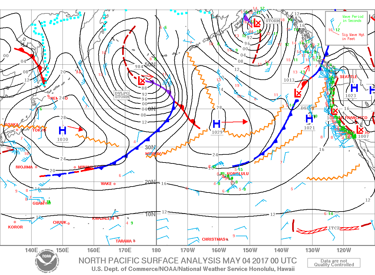
Image: NOAA
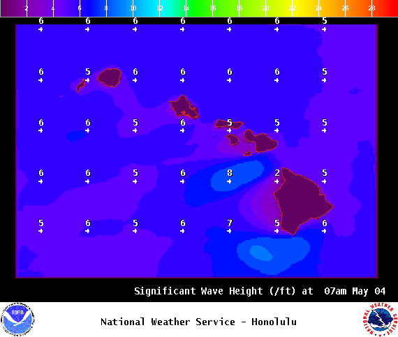
Image: NOAA
Sponsored Content


