

ESE Winds Mean Haze, Shift in Weather Pattern

Image: James Grenz
Alerts (as of 1:00 a.m.)
There are no weather alerts posted at this time.
**Click directly on the images below to make them larger. Charts include: Big Island high/low forecasted temperatures, projected winds, chance of cloud cover, projected localized weather conditions, vog/SO2 forecast and expected wave heights.**
Looking Ahead
East to southeast winds are forecast across the state through Friday. A disturbance high in the atmosphere is digging toward the islands increasing the chance for more windward showers today through Saturday. This weekend more typical trade wind weather is expected with breezy winds.
Today
We have east winds today around 15 to 20. High temperatures are forecast from 81° to 86°. Partly sunny skies with scattered windward showers. The Kona side will be mostly sunny to start with mostly cloudy skies and isolated showers in the afternoon. Locally hazy skies are forecast as well.
UV index at 12 (“extreme” exposure level)
Tonight
East winds are forecast around 15 to 20 mph. Mostly cloudy skies are expected for Hawaii County with numerous windward showers. Clearing skies are expected for the Kona side overnight. Low temperatures from 67° to 72°.
Our Big Island Now Weather homepage always includes daily: Sunrise | Sunset | Moonrise | Moonset | Moon Phase | Live Weather Cams | 5-day Forecast | Current Temperature & Conditions
**Click here for your detailed Big Island surf report.**

Image: NOAA

Image: NOAA

Image: NOAA

Image: NOAA
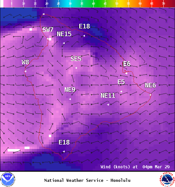
Image: NOAA
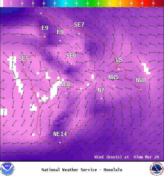
Image: NOAA
Image: NOAA
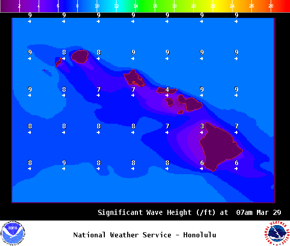
Image: NOAA
Sponsored Content


