New WNW Swell Fills in Late Saturday
Alerts (as of 1:00 a.m.)
Small Craft Advisory: Typical windy channels and waters around Hawaii County through 6 p.m. Sunday.
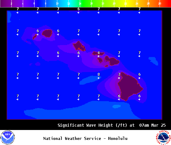
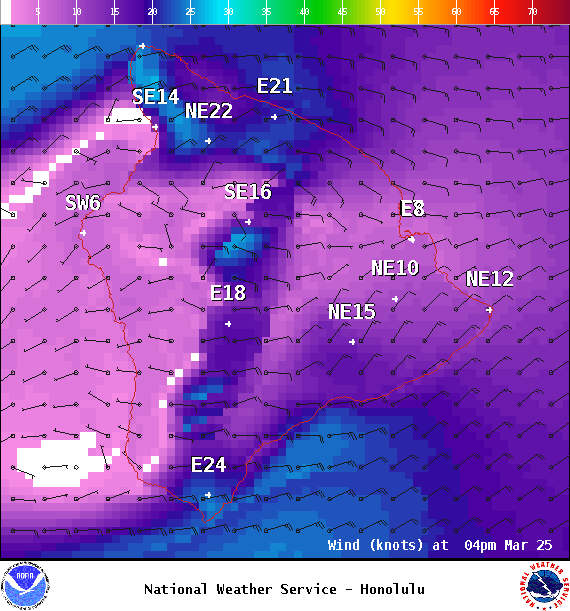
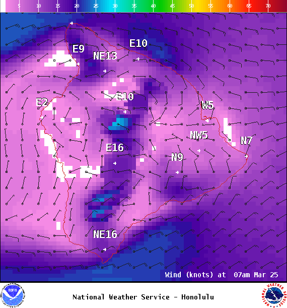
**Click directly on the images below to make them larger. Charts include: Big Island projected winds, tides, swell direction & period and expected wave heights.**
Big Island Surf Forecast
Hilo side: Wave heights are forecast to be shoulder/head high today.
Kona side: Wave heights are expected to be knee/thigh high today with chest high sets at the best breaks as swell fills in.
South: Wave heights are expected to be knee/thigh high today with chest high sets at the best breaks as swell fills in.
Our current swell continues to fade into the weekend. New west-northwest swell is forecast to fill in late Saturday, rising considerably before dark. This swell will peak Sunday and fade early next week. The same storm could bring more swell for the middle of the week as well with another west-northwest possible for the end of the week as well.
Fun size south-southwest swell is forecast to fill in sometime late in the work week.
Keep in mind, surf heights are measured on the face of the wave from trough to crest. Heights vary from beach to beach, and at the same beach, from break to break.
Sponsored Content
Comments


