

Front Moving Down Island Chain Through Weekend

Image: James Grenz
Alerts (as of 1:00 a.m.)
There are no weather alerts posted at this time.
**Click directly on the images below to make them larger. Charts include: Big Island high/low forecasted temperatures, projected winds, chance of cloud cover, projected localized weather conditions, vog/SO2 forecast and expected wave heights.**
Looking Ahead
Thursday afternoon a weak front is expected to reach Kauai and move down the island chain reaching the Big Island over the weekend. Windward sides will see increased clouds and showers as the front moves through. Drier trade wind weather is forecast to fill in behind the front early next week.
Today
We have variable winds today around 15 mph with afternoon sea breezes. High temperatures are forecast from 80° to 85° but feeling warmer due to a high heat index. Partly sunny skies to start with building cloud cover and isolated leeward showers in the afternoon. Windward spots will be partly cloudy with scattered showers.
UV index at 12 (“extreme” exposure level)
Tonight
Variable winds are forecast around 15 mph with nighttime land breezes. Partly cloudy skies are expected for Hawaii County with scattered windward showers and isolated leeward showers. Low temperatures from 68° to 73°.
Our Big Island Now Weather homepage always includes daily: Sunrise | Sunset | Moonrise | Moonset | Moon Phase | Live Weather Cams | 5-day Forecast | Current Temperature & Conditions
**Click here for your detailed Big Island surf report.**

Image: NOAA

Image: NOAA

Image: NOAA

Image: NOAA
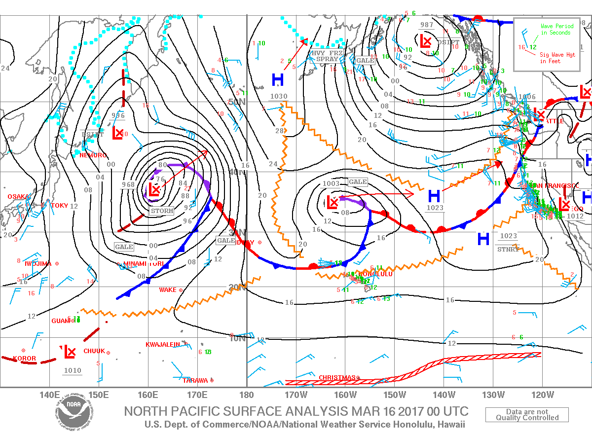
Image: NOAA
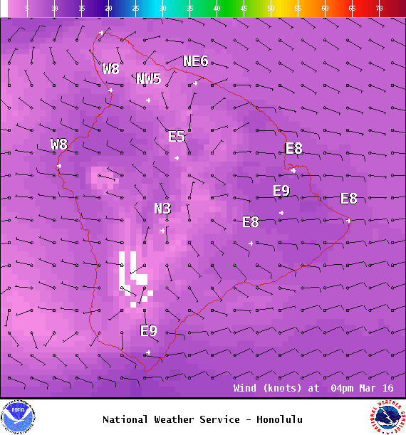
Image: NOAA
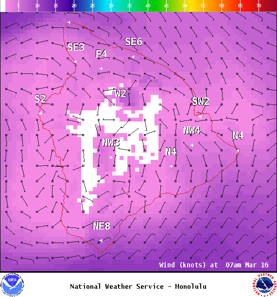
Image: NOAA
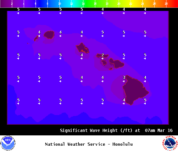
Image: NOAA
Sponsored Content


